|
(Home) |
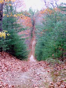
Hike of Rocky NarrowsSherborn, MASunday October 29th, 2006 |
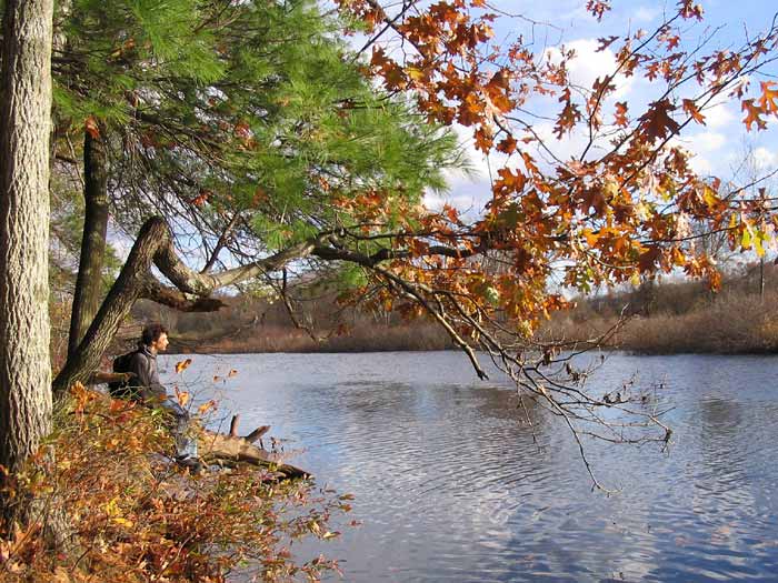 ...down by the banks of the River Charles...
Just follow the twists and turns of the Charles River for another 40 miles or so downstream and you'll eventually end up in the heart of Boston. But here at Rocky Narrows the river is peaceful and surrounded by nature, as Jason discovers while sitting on its banks below King Philip's Overlook. |
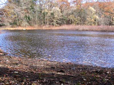 As we hiked the trails of Rocky Narrows Reservation, our first encounter with the Charles was from a canoe launch at the northern
end of the reservation.
As we hiked the trails of Rocky Narrows Reservation, our first encounter with the Charles was from a canoe launch at the northern
end of the reservation.
|
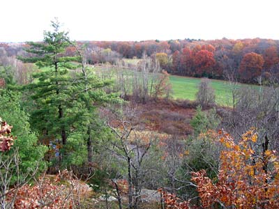 Our best view by far was from the top of King Philip's Overlook, with the river below us, green fields on the opposite shore,
and a full spectrum of fall colors everywhere.
Our best view by far was from the top of King Philip's Overlook, with the river below us, green fields on the opposite shore,
and a full spectrum of fall colors everywhere. |
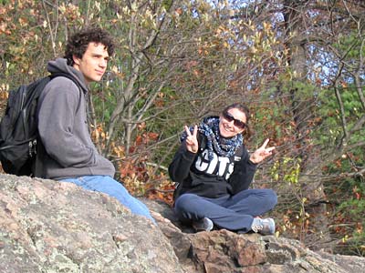
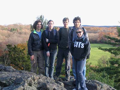 Greg, Jenn, Alec, Jason, and Willa at King Philip's Overlook.
|
|
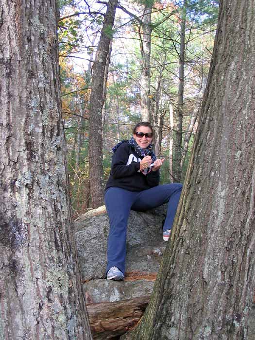
Below, Jason and a "peaceful" Willa enjoying the view. At right, it's Willa again, but this time she's taking notes! |
 |
 |
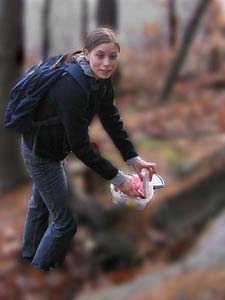
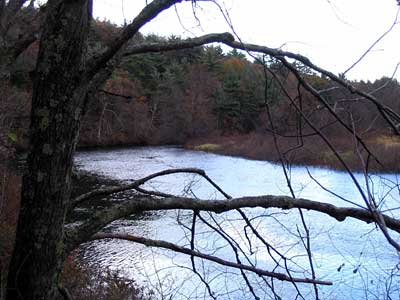
We also did a little geocaching and located the Rocky Narrows geocache, which Jenn examines. (No clues from us... you'll have to find it on your own.) Below, our final view of the Charles River, looking back toward King Philip's Overlook from alongside a railroad trestle. |
Going waaay down! |
|
|