|
(Home) |
Hike of Mt. WataticAshburnham, MASunday September 26th, 2010 |
|
click photos to view full size (in new window) 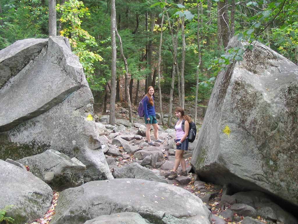 A huge split boulder through which the Midstate Trail passes serves as an unofficial gateway to Mt. Watatic as we begin our hike. The
mountain had once housed a ski area, and in 2002 a dedicated conservation effort spared its summit from construction of a
cellular communications tower. As a result, the summit is now preserved for all to enjoy as protected conservation land.
A huge split boulder through which the Midstate Trail passes serves as an unofficial gateway to Mt. Watatic as we begin our hike. The
mountain had once housed a ski area, and in 2002 a dedicated conservation effort spared its summit from construction of a
cellular communications tower. As a result, the summit is now preserved for all to enjoy as protected conservation land.
|
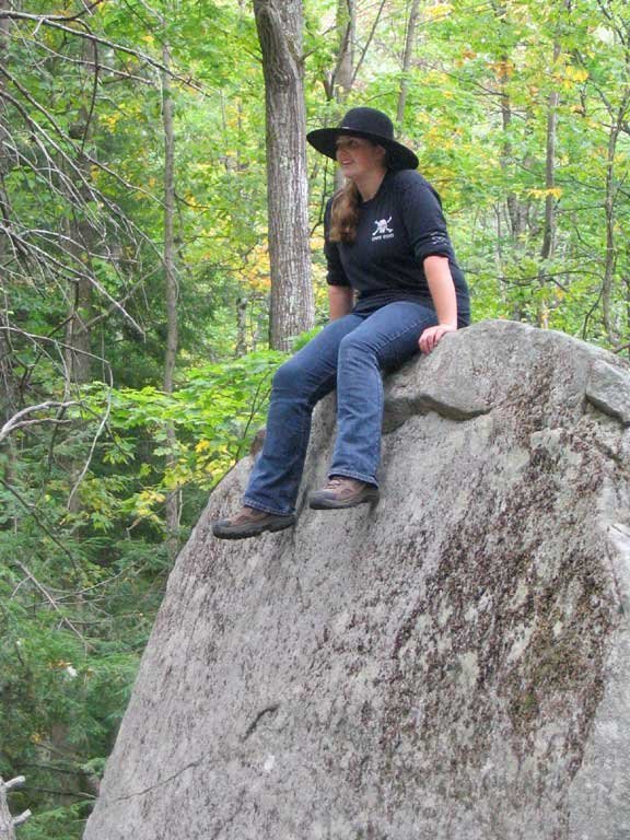
Eric, Jill and Alina explore the left half of the boulder while Allyson lays claim to it's right hemisphere. |
|
|
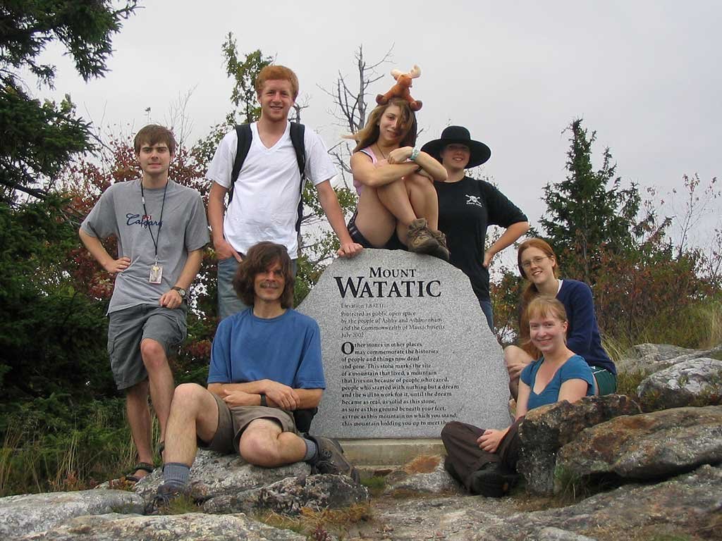 Continuing our ascent, we reach the Watatic summit and check out the
inscription
on its commemorative monument. At 1832 feet, the mountain is the second highest peak in Massachusetts east of the Connecticut River.
Continuing our ascent, we reach the Watatic summit and check out the
inscription
on its commemorative monument. At 1832 feet, the mountain is the second highest peak in Massachusetts east of the Connecticut River.
|
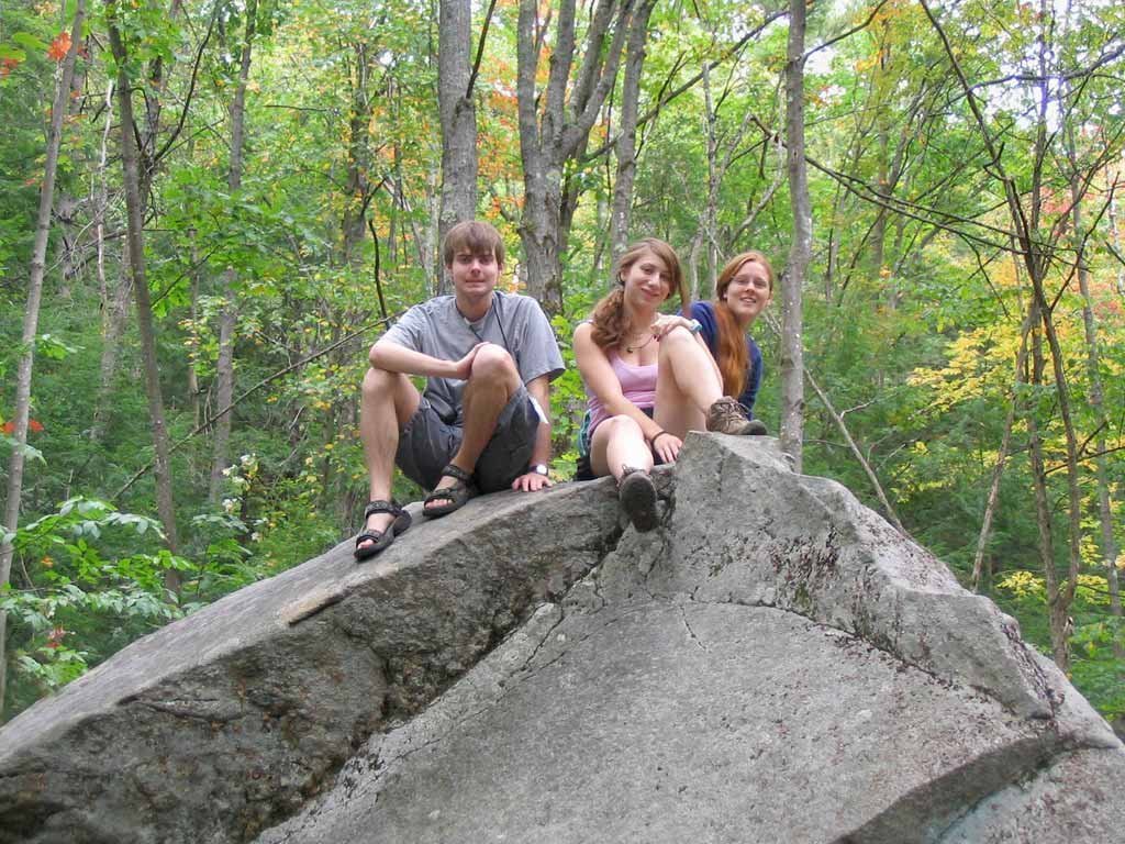
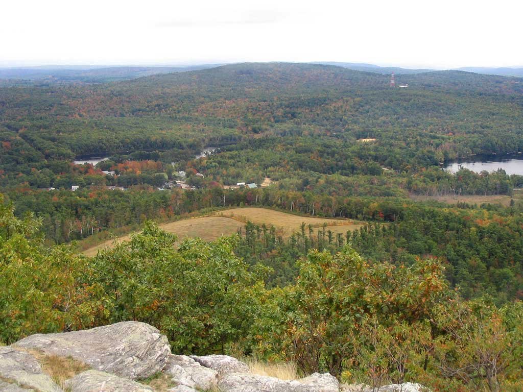
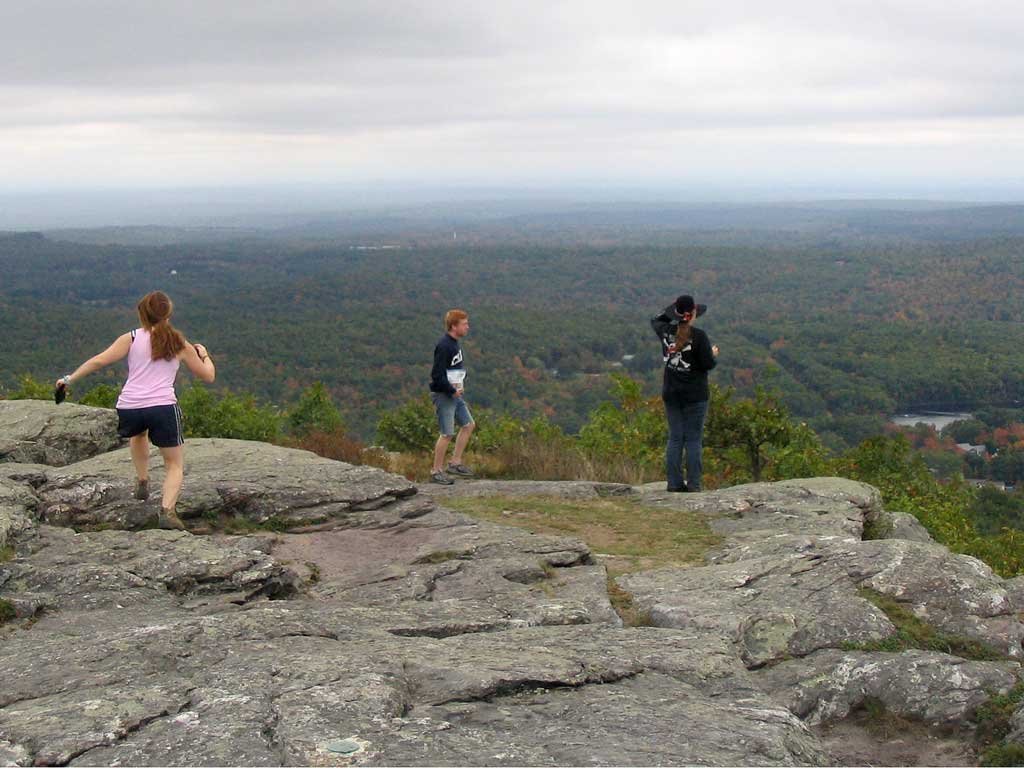 Jill, Zach and Allyson hop across the summit to check out the views. The warm and sunny skies under which we began our hike had gradually
gaven way to cooler, overcast conditions, but that didn't deter us from taking time to enjoy the panoramic mountaintop vista.
Jill, Zach and Allyson hop across the summit to check out the views. The warm and sunny skies under which we began our hike had gradually
gaven way to cooler, overcast conditions, but that didn't deter us from taking time to enjoy the panoramic mountaintop vista.
|

|
|
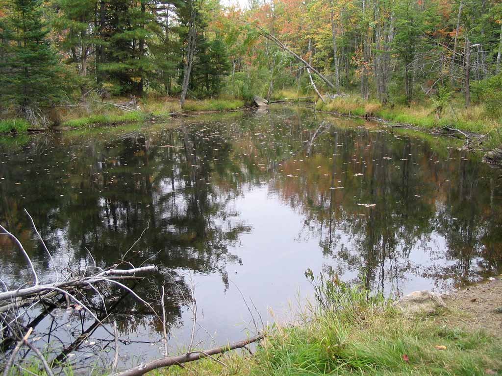
After leaving the summit, we hiked north along the Wapack and Midstate trails, across Nutting Hill, and to the New Hampshire state border marker. We then completed our 4-mile loop by descending the Stateline Trail, pausing to investigate the small pond abutting the trail at the end of our hike. 
|