|
(Home) |
Hike of Ward ReservationAndover, MANovember 30th, 2010 |
| Who could resist the allure of a 700 foot long boardwalk winding its way through a thick bog and leading down to Pine Hill Pond right in the middle of it all? Certainly not us! So that's exactly where we begin our hike, as Andrew fearlessly leads the way on the final floating section of dead-end boardwalk. |
click photos to view full size (in new window) 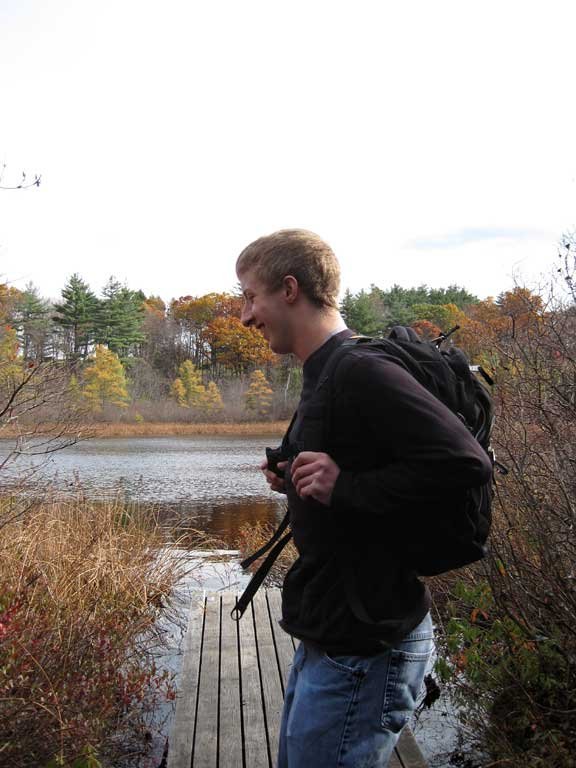
|
|
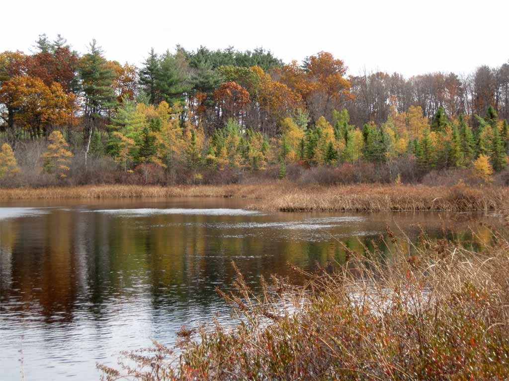
 It was a "peaceful" bog, at least according to David, Thomas and Christy!
 |
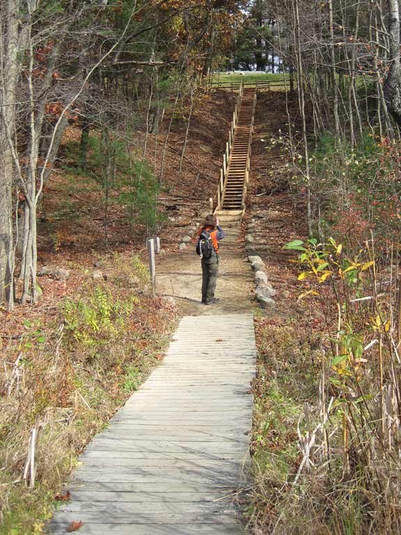 |
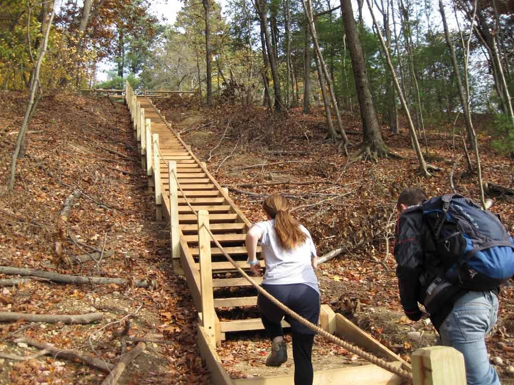
An impressive, wooden staircase leads down to the boardwalk. On the way back, Jill and David have some fun racing to the top! |
|

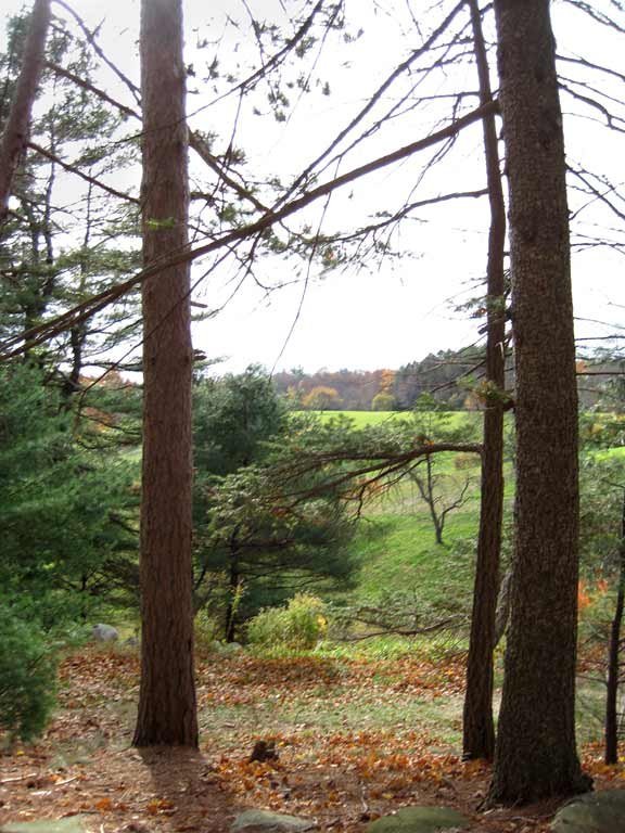 The remainder of our hike through the 700 acre reservation encompasses a mix of narrow woodland trails and broad open fields.
|
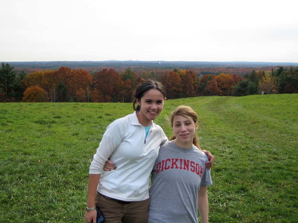 At the center of a huge grassy field stands Holt Hill, the highest point in Essex County (yet its elevation is 120 feet lower than
Clark's campus). Boston's skyline is on the horizon right above Therese and Jill.
At the center of a huge grassy field stands Holt Hill, the highest point in Essex County (yet its elevation is 120 feet lower than
Clark's campus). Boston's skyline is on the horizon right above Therese and Jill.
|
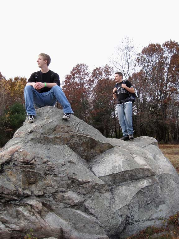
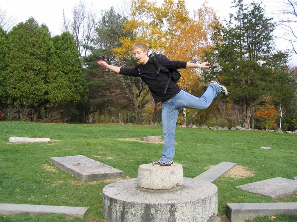 The top of the hill is home to the Solstice Stones, a compass-like arrangement of stones marking direction, solstices, and
equinoxes. And for Andrew, the stones serve as a nice pedestal.
The top of the hill is home to the Solstice Stones, a compass-like arrangement of stones marking direction, solstices, and
equinoxes. And for Andrew, the stones serve as a nice pedestal.
|
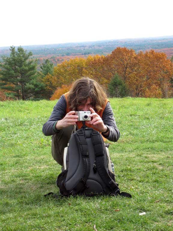 |
Here's a rare, behind-the-scenes look at the making of our group photo! It begins with careful balancing act involving a camera, a tiny tripod, and a backpack, and ends with Greg racing to beat the 10-second shutter timer. |

|
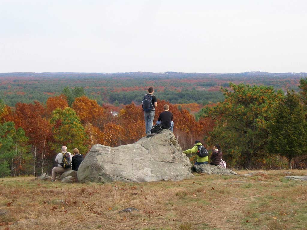 Further along our hike, we crest Boston Hill and emerge into another open field where Elephant Rock is located. The city of Salem
is on the horizon to the right. The couple sitting next to us said that at high tide on a very clear day, the waters of
Massachusetts Bay can actually be seen from the rock.
Further along our hike, we crest Boston Hill and emerge into another open field where Elephant Rock is located. The city of Salem
is on the horizon to the right. The couple sitting next to us said that at high tide on a very clear day, the waters of
Massachusetts Bay can actually be seen from the rock.
|
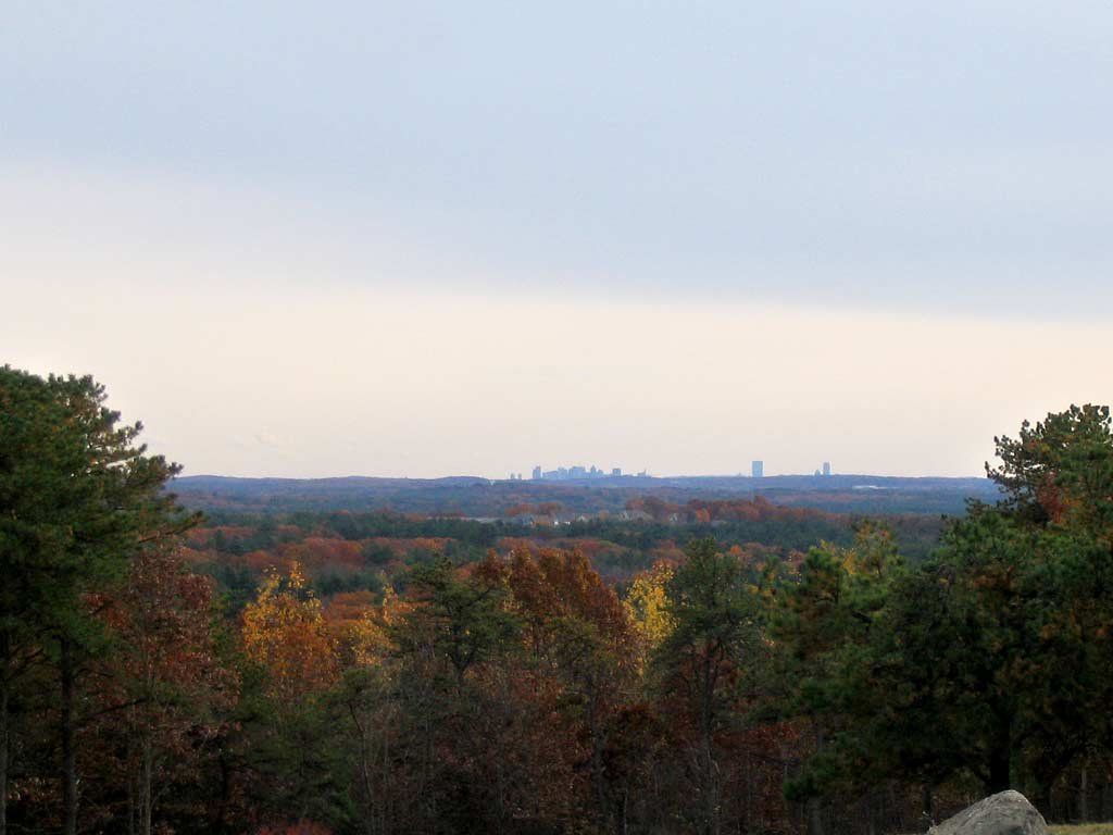 To the south, we have another great view of the Boston skyline.
|
 |
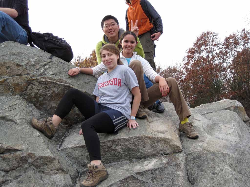
Andrew and David (left) and Jill, Therese and Thomas (below) hang out on Elephant Rock. This was the reservation's most distant point from where we started. We completed our 3-mile loop back to the trailhead in fine form and hopped back in the van for a 55 mile ride back to Clark. |
|