|
(Home) |
Hike of Tully LakeRoyalston, MASeptember 7th, 2013 |
|
click photos to view full size (in new window)  Venturing to Tully Lake involved an hour long picturesque drive through quaint New England towns as we headed northwest to
Royalston, MA, near the New Hampshire border. Our first view of the lake, and one of the best, was from the top of Tully Dam
where we parked.
Venturing to Tully Lake involved an hour long picturesque drive through quaint New England towns as we headed northwest to
Royalston, MA, near the New Hampshire border. Our first view of the lake, and one of the best, was from the top of Tully Dam
where we parked.
|
|
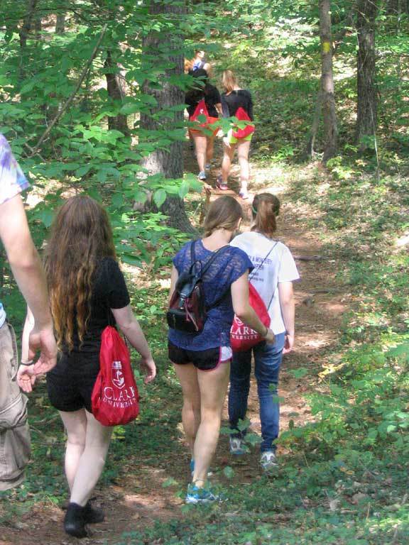
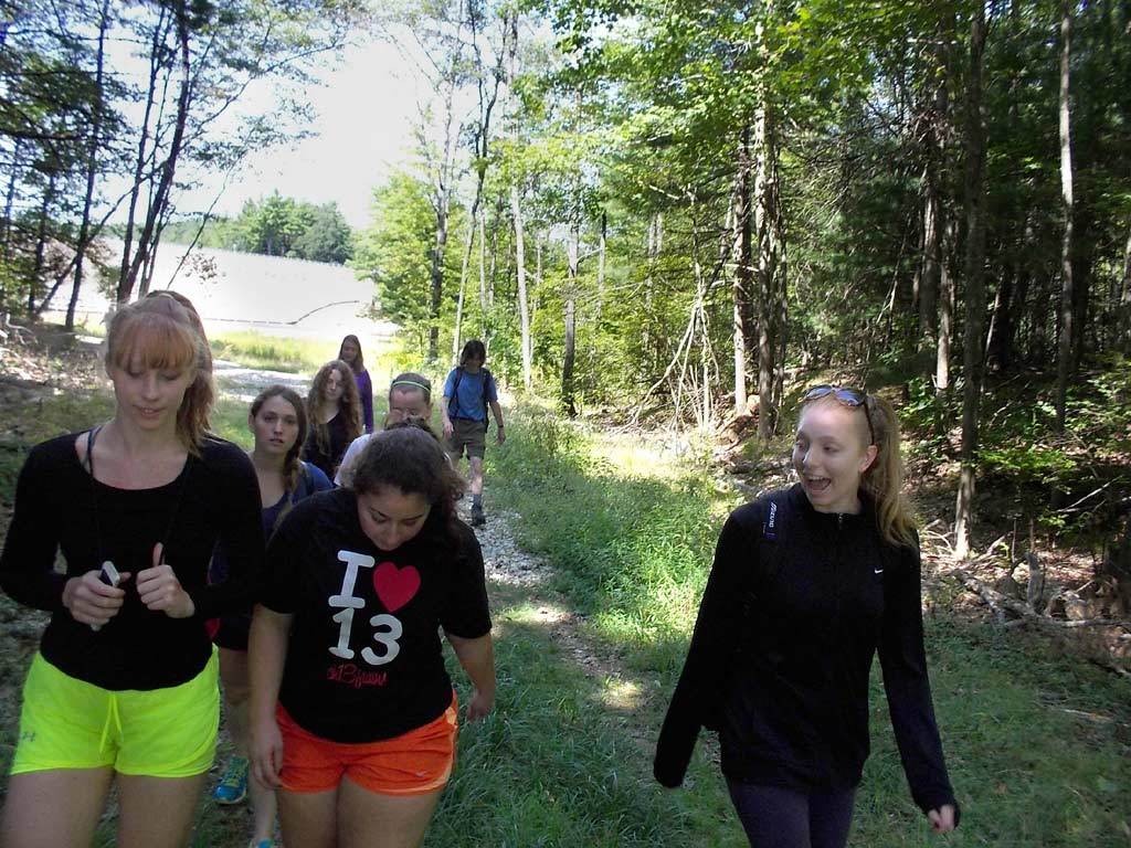
Morgan, Jess and Claire lead the way down the trail. We circled the lake in a counterclockwise direction, hiking it's south shore first. |
|
|
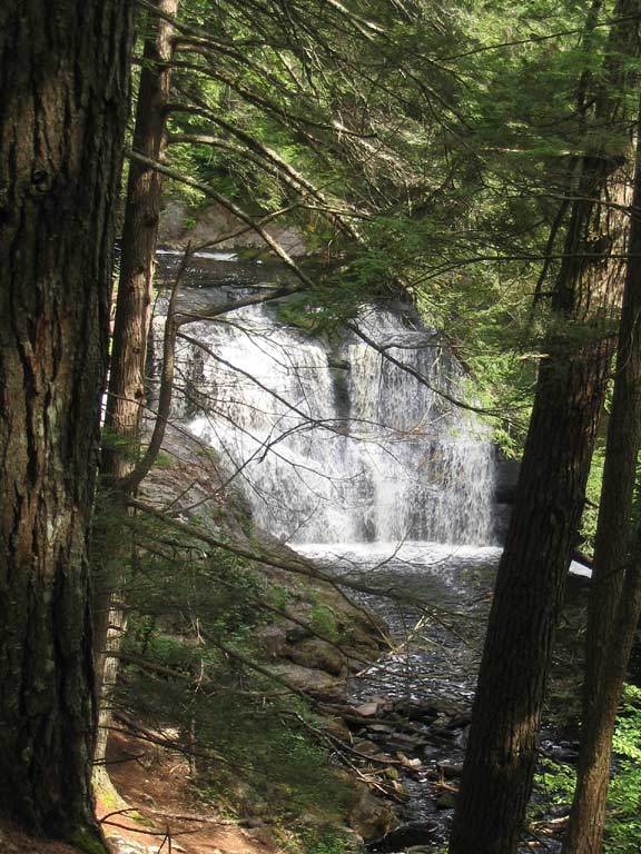
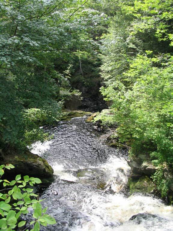 At about the halfway point, we enjoy a view of Lawrence Brook as it passes beneath a stone bridge which the trail crosses.
|
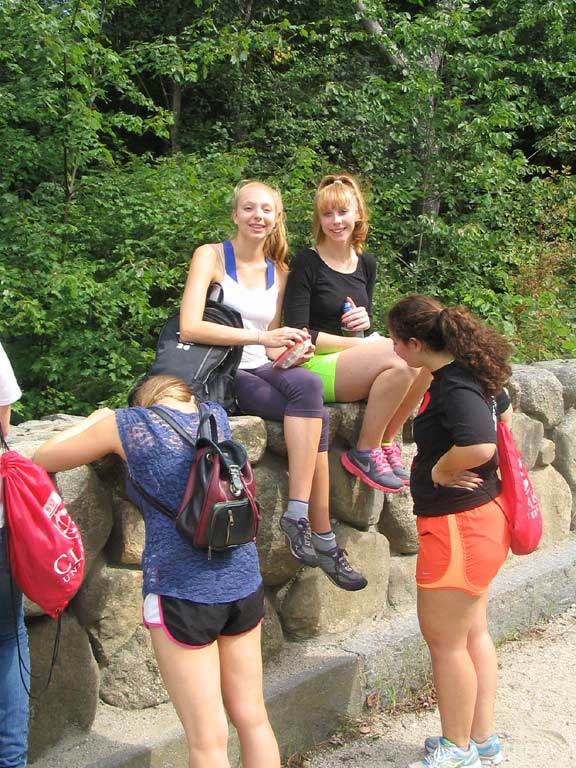
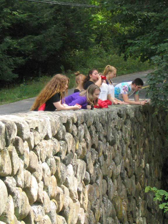
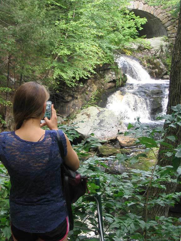 Claire and Morgan are perched on the wall above the brook. A short distance down the trail, Lara snaps a picture of the
upper portion of Doane's Falls with our bridge in the background.
Claire and Morgan are perched on the wall above the brook. A short distance down the trail, Lara snaps a picture of the
upper portion of Doane's Falls with our bridge in the background.
|
 Up on a pedestal, Rob pays tribute to the falls with a yoga stance.
|
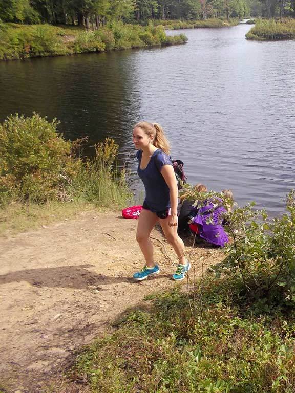
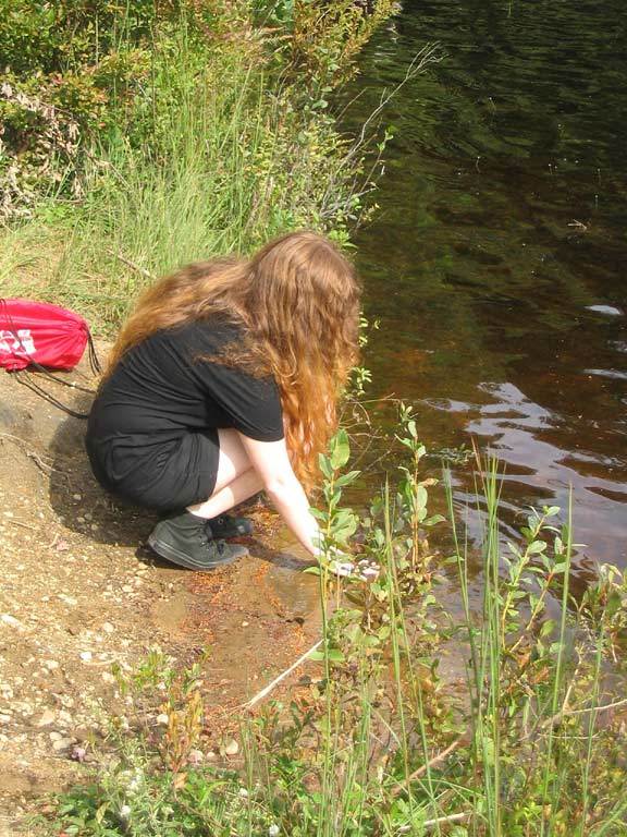
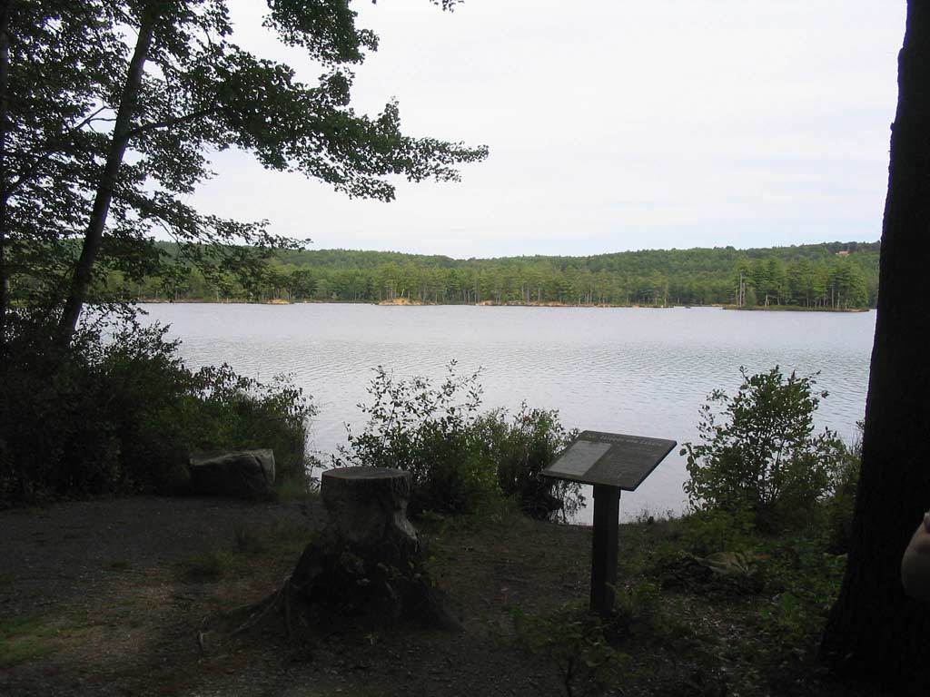
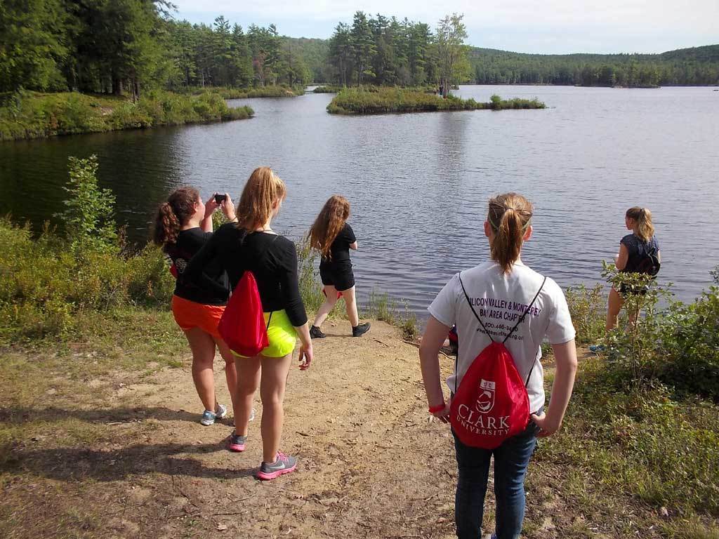 The trail brought us to a mini-beach along the lake's north shore, which we stopped to explore.
|
|
Kaitlyn, Lara and Greg check out the water's edge. 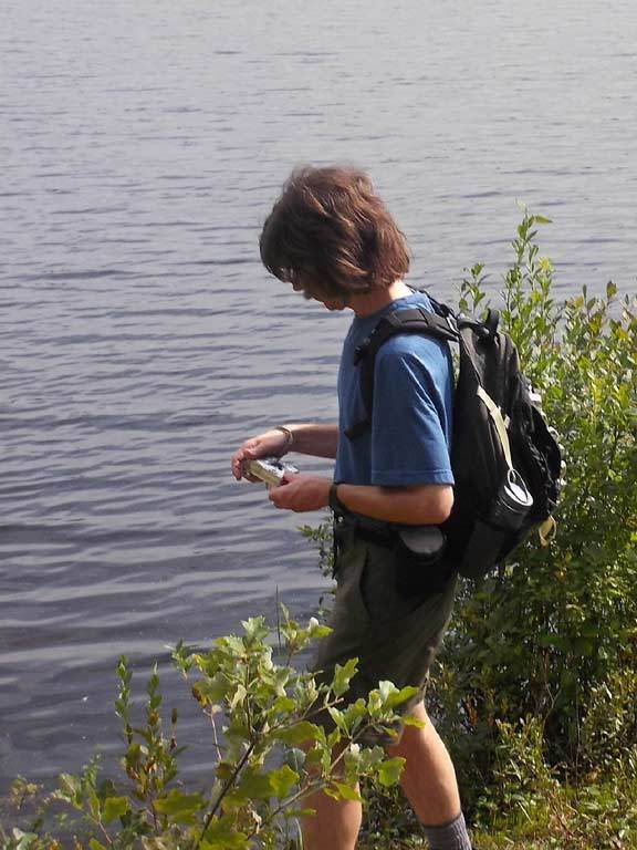
|
|
A sign pointed to a beaver pond up a side trail, so we diverted to check it out and took our group photo there. 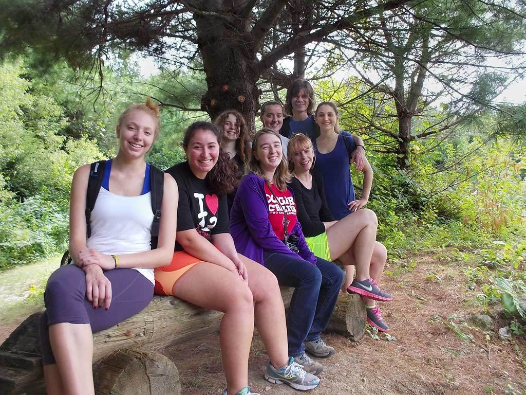

|
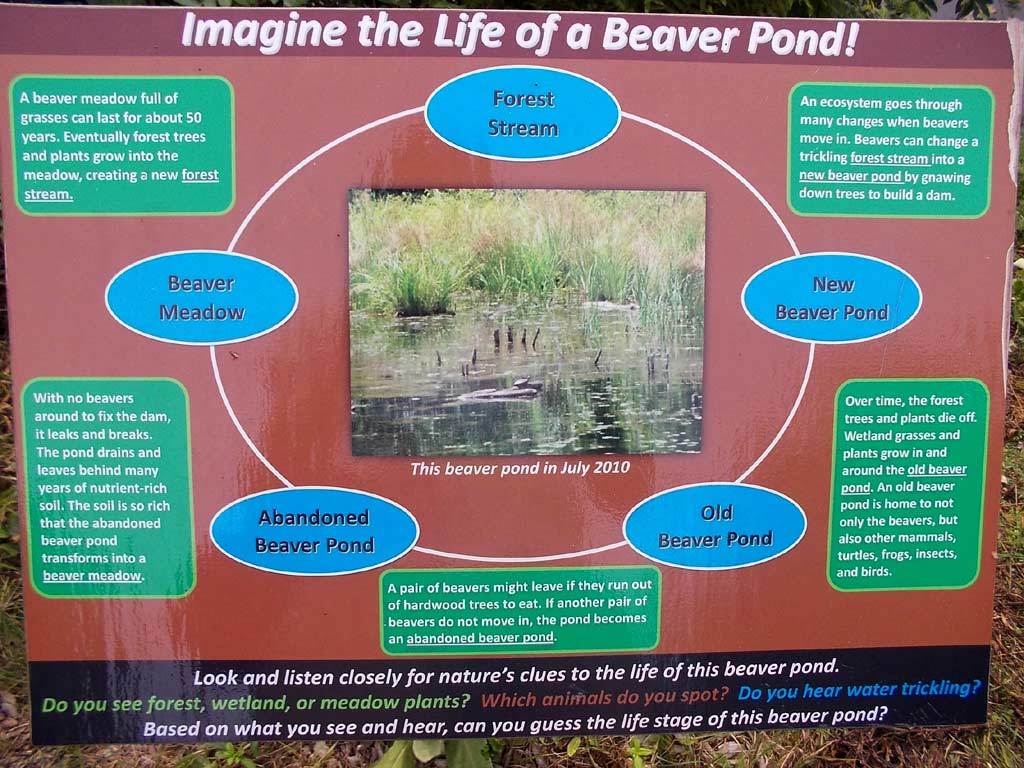 How the beaver pond works. (Click photo to enlarge.)
|
|
Back at Tully Lake's shoreline, the final stretch of our hike was along an interpretive part of the trail. The sign described the lake's many islands and eskers. |

|
|
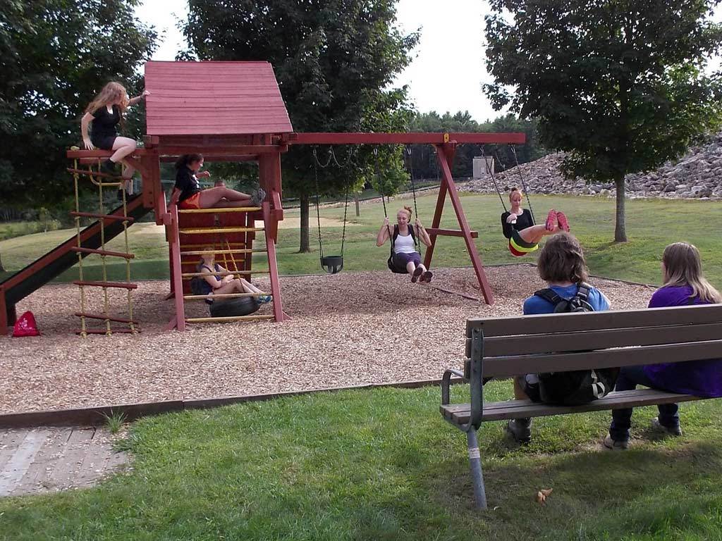 At the end of our 4.5 mile hike, we spied a mini-playground for which we were a li'l too old, but jumped at the chance
to have some fun on it anyway before the long van ride back to Clark.
At the end of our 4.5 mile hike, we spied a mini-playground for which we were a li'l too old, but jumped at the chance
to have some fun on it anyway before the long van ride back to Clark. |
|
View photos on Facebook |