|
(Home) |
Hike of Tully Lake
|
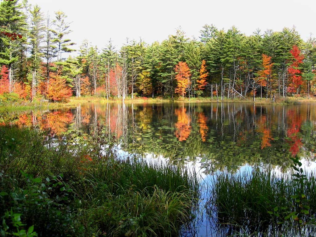
The timing of our 5-mile hike around Tully Lake was perfect! Bright fall colors had begun to appear and clouds had unexpectedly given way to sunshine on the morning of our hike. It was a marked improvement over our rained-out first attempt the prior weekend. |
click photos to view full size (in new window) 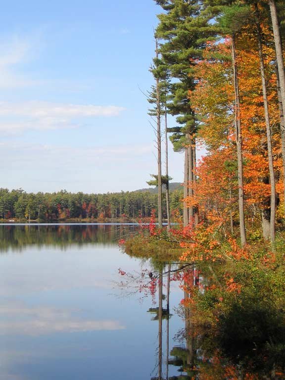
|
|
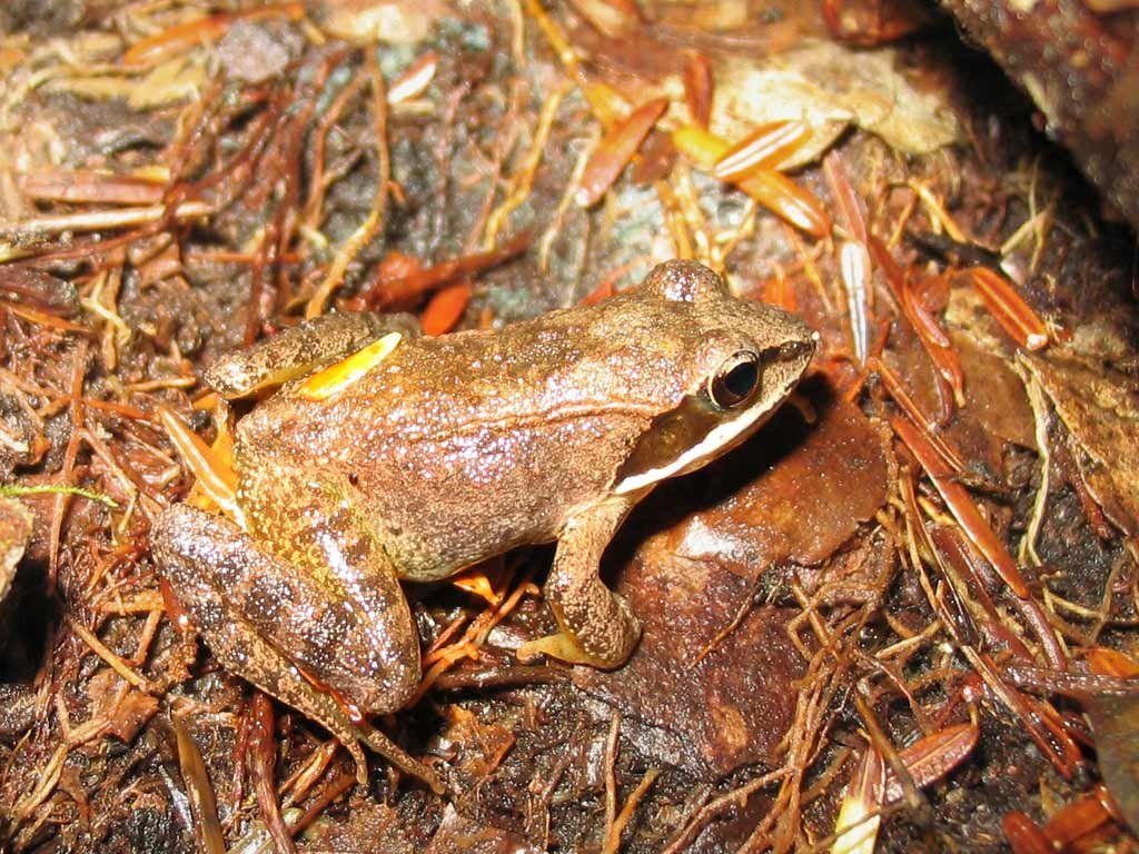
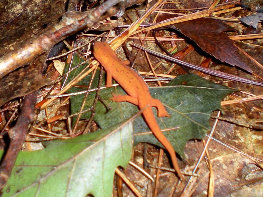
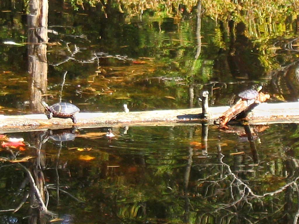 As we circled the lake, the critters we met along the way included a slew of turtles, a toad (naturally), and two red salamaders.
|
|
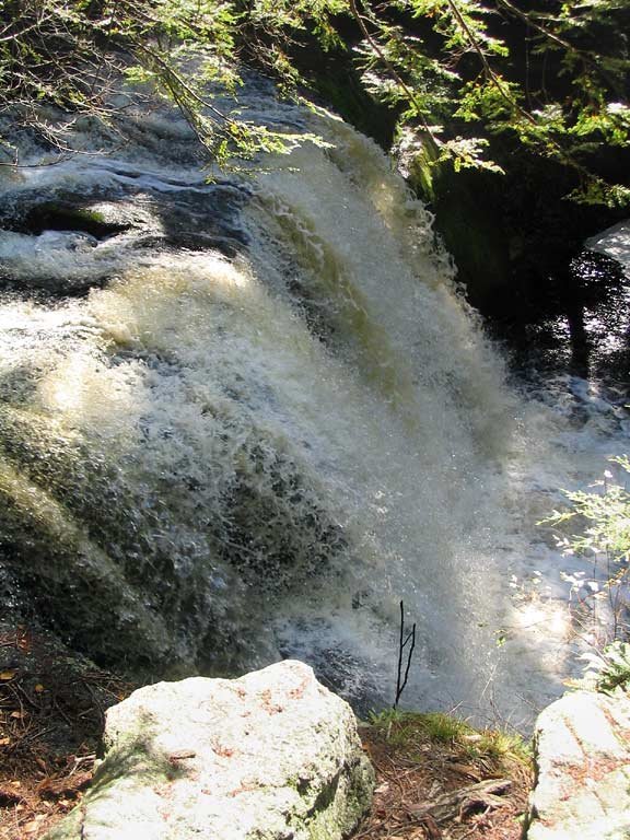 |
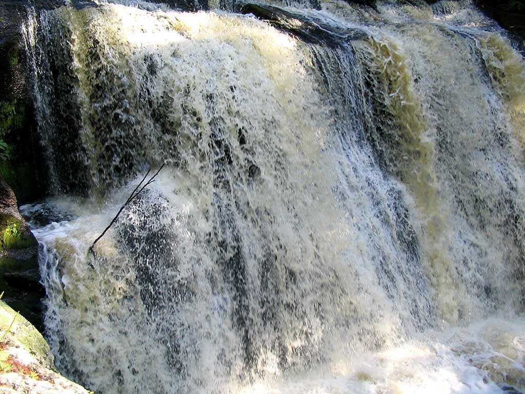
Near the midpoint of our loop we stopped to admire Doane's Falls, where Lawrence Brook tumbles down a series of dramatic waterfalls into Tully Lake. The recent rainstorm provided the waterfall with plenty of fuel for our visit. |
|
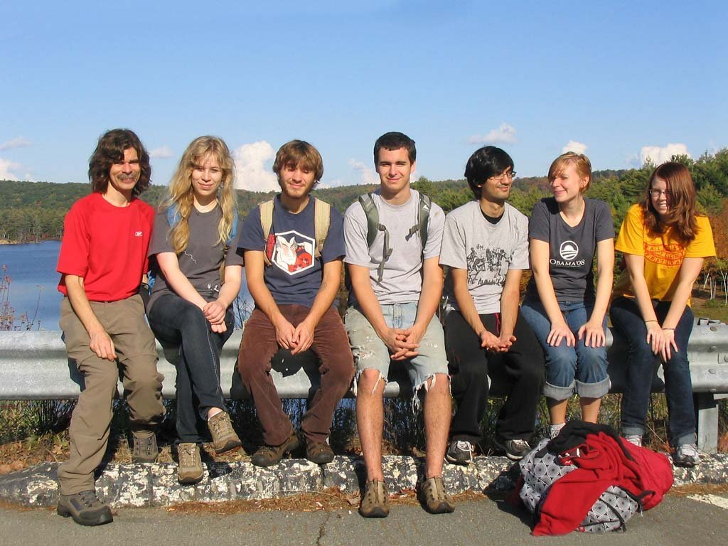 All of us on top of Tully Dam at the west end of the lake. The dam is an Army Corps of Engineers flood control project.
|
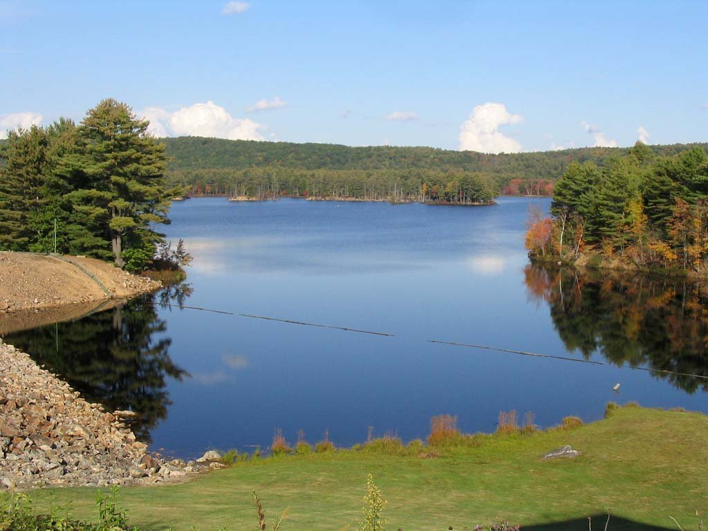 A view of the lake from the top of Tully Dam.
|
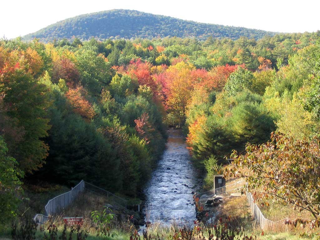 A view of the Tully Dam outfall with Tully Mountain in the background.
|
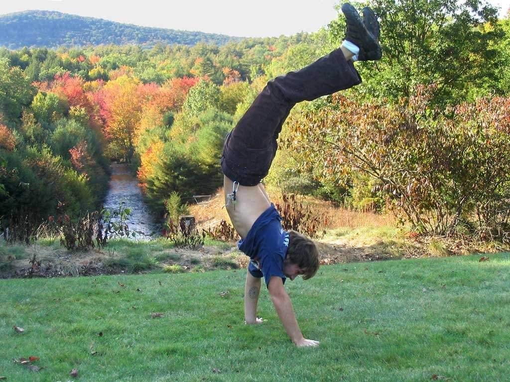 Elliot hiking across Tully Dam.
|
 After completing our loop, we drove a short distance to Tully Mountain in Orange, MA for a quick hike to the summit.
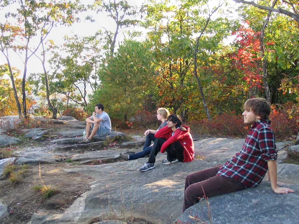
Nate, Rachael, Raj, and Elliot are enjoying the mountaintop vista.
After completing our loop, we drove a short distance to Tully Mountain in Orange, MA for a quick hike to the summit.
Nate, Rachael, Raj, and Elliot are enjoying the mountaintop vista.
|
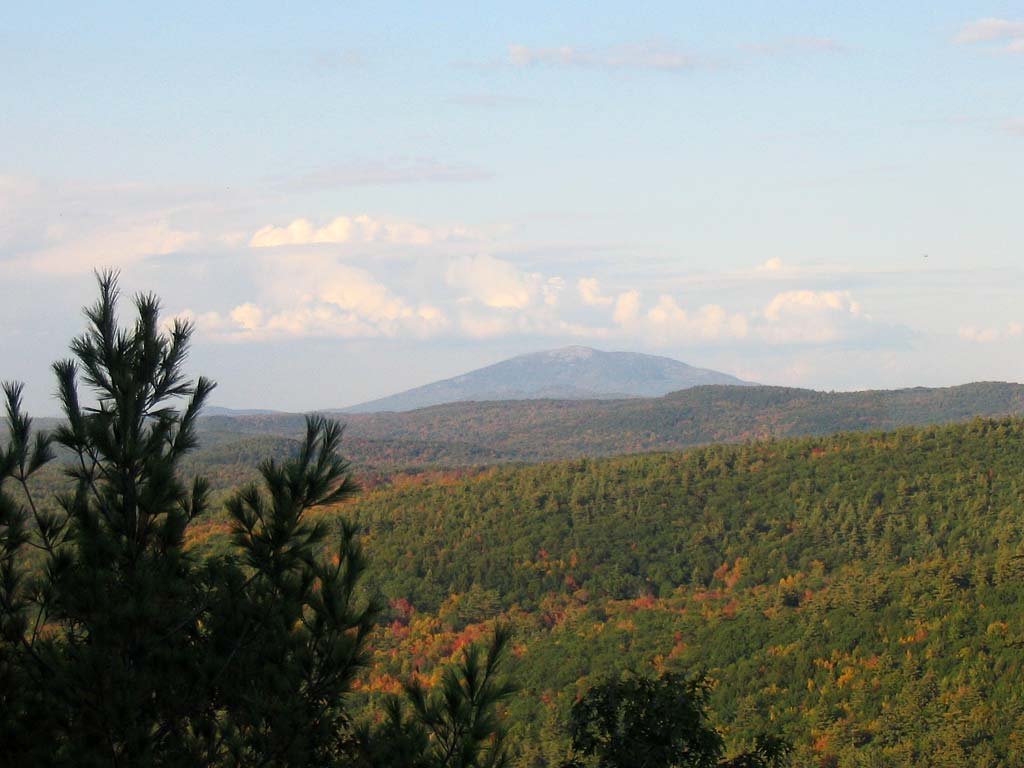 A view of Mt. Monadnock in New Hampshire from Tully Mountain. Our club climbed it a week later during fall break.
|
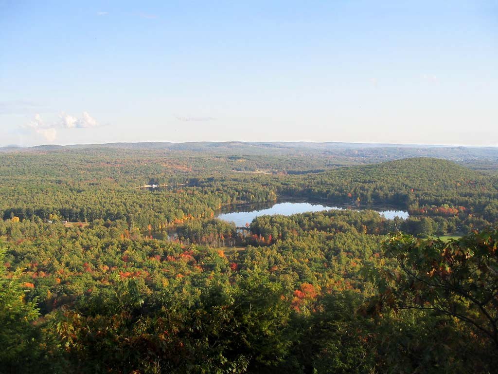 Tully Pond, as seen from Tully Mountain. The pond is to the west of Tully Lake. Tully Lake and Tully Mountain are both located along the
22-mile Tully Trail system.
Tully Pond, as seen from Tully Mountain. The pond is to the west of Tully Lake. Tully Lake and Tully Mountain are both located along the
22-mile Tully Trail system. |
 Our whole group on top of Tully Mountain, getting ready to descend again and head home.
|