|
(Home) |
Hike of Quabbin Reservoir WatershedHardwick & Ware, MASunday October 23rd, 2005 |
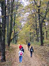 Our hike down to the Quabbin Reservoir began at gate 45 in Hardwick. Tucked away
at the end of a long dirt road, gate 45 is one of the reservoir's more secluded gates.
On this overcast and breezy day, we were alone on the trails.
Our hike down to the Quabbin Reservoir began at gate 45 in Hardwick. Tucked away
at the end of a long dirt road, gate 45 is one of the reservoir's more secluded gates.
On this overcast and breezy day, we were alone on the trails.
|
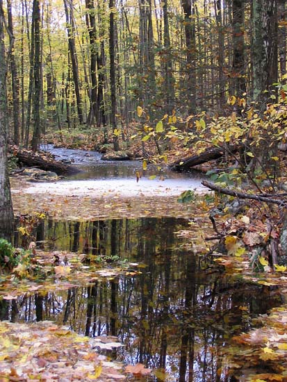 A mile or two down the trail, we passed a beaver pond which drained into
a small stream. Our route paralleled the stream for a while. The heavy
rainfall overnight had swelled the stream.
A mile or two down the trail, we passed a beaver pond which drained into
a small stream. Our route paralleled the stream for a while. The heavy
rainfall overnight had swelled the stream.
|
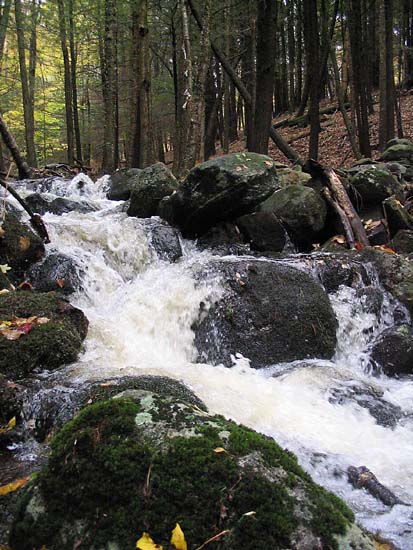
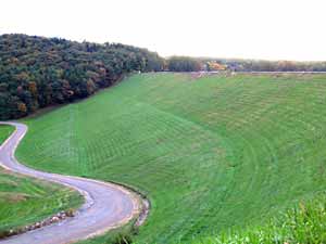
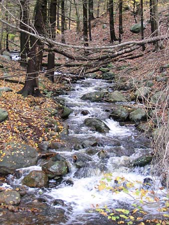 In an instant, the stream passed from flat ground over the crest of a hill
and began its tumble down to the reservoir; leveling off a bit on the final
leg of its journey.
In an instant, the stream passed from flat ground over the crest of a hill
and began its tumble down to the reservoir; leveling off a bit on the final
leg of its journey.
|
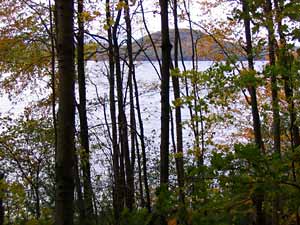 Our first glimpse of the reservoir was through a stand of trees.
|
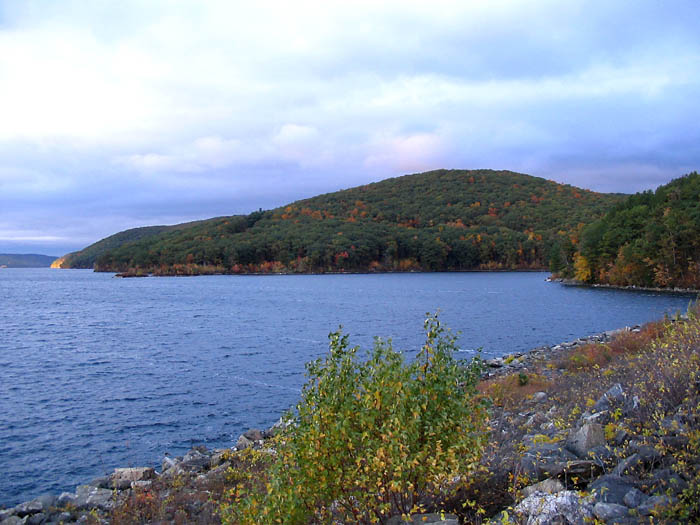
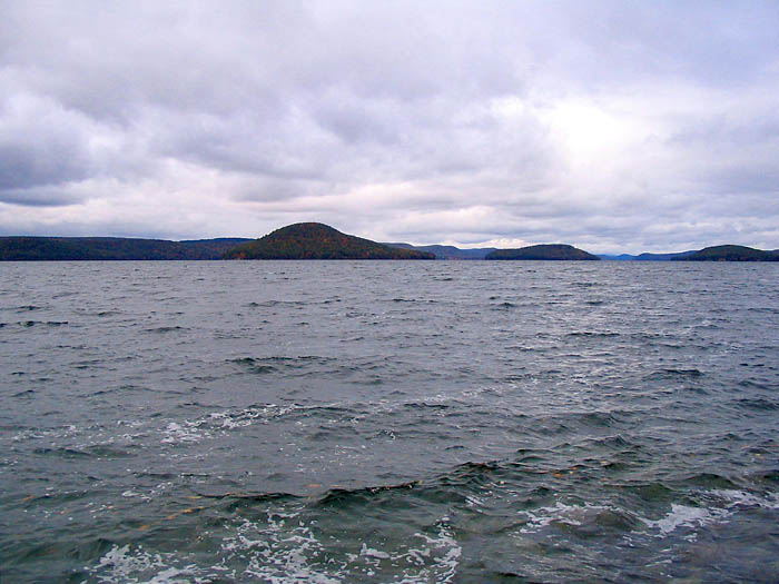 We managed to make our way onto some rocks at the water's edge.
The wind coming across the reservoir from the west made it's surface rather choppy.
We managed to make our way onto some rocks at the water's edge.
The wind coming across the reservoir from the west made it's surface rather choppy.
|
 After completing our hike we proceeded to Quabbin Park at the reservoir's southern tip.
We didn't have enough time to do a second hike as we had originally contemplated, but we
did walk a short distance down to the water's edge near Hank's Picnic Area.
After completing our hike we proceeded to Quabbin Park at the reservoir's southern tip.
We didn't have enough time to do a second hike as we had originally contemplated, but we
did walk a short distance down to the water's edge near Hank's Picnic Area.
|
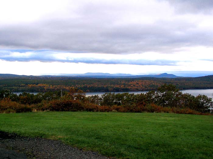 We then passed by Enfield Lookout and climbed the observation tower on top of Quabbin Hill.
Looking west from the tower's base, this view includes Mt. Tom and the Holyoke Range.
We then passed by Enfield Lookout and climbed the observation tower on top of Quabbin Hill.
Looking west from the tower's base, this view includes Mt. Tom and the Holyoke Range.
|
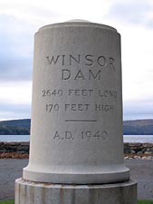
 The Windsor Dam was our final stop. It's 2,640 foot length and 170 foot height serves to contain
the reservoir's 412 billion gallons of water.
The Windsor Dam was our final stop. It's 2,640 foot length and 170 foot height serves to contain
the reservoir's 412 billion gallons of water.
|
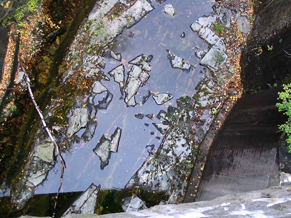 This brain teaser is a view directly down into the Windsor Dam's spillway.
Amidst the rocks, a reflection of sky can be seen on the water's surface.
This brain teaser is a view directly down into the Windsor Dam's spillway.
Amidst the rocks, a reflection of sky can be seen on the water's surface.
|
 The spillway emerges from the underpass and continues downstream.
|
 A view from the Windsor Dam looking northeast toward Quabbin Hill.
|
|
|