|
(Home) |
East Side TrailWorcester, MAApril 7th, 2013 |
The steepest part of our hike on Worcester's East Side Trail was right at the beginning, as we rise above Shrewsbury St. & Cristoforo Colombo Park toward the top of Bell Hill (a.k.a. Chandler Hill). Christian and Jessie stop to admire the city view below through the still bare trees. |
click photos to view full size (in new window) 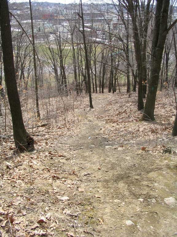
|

|
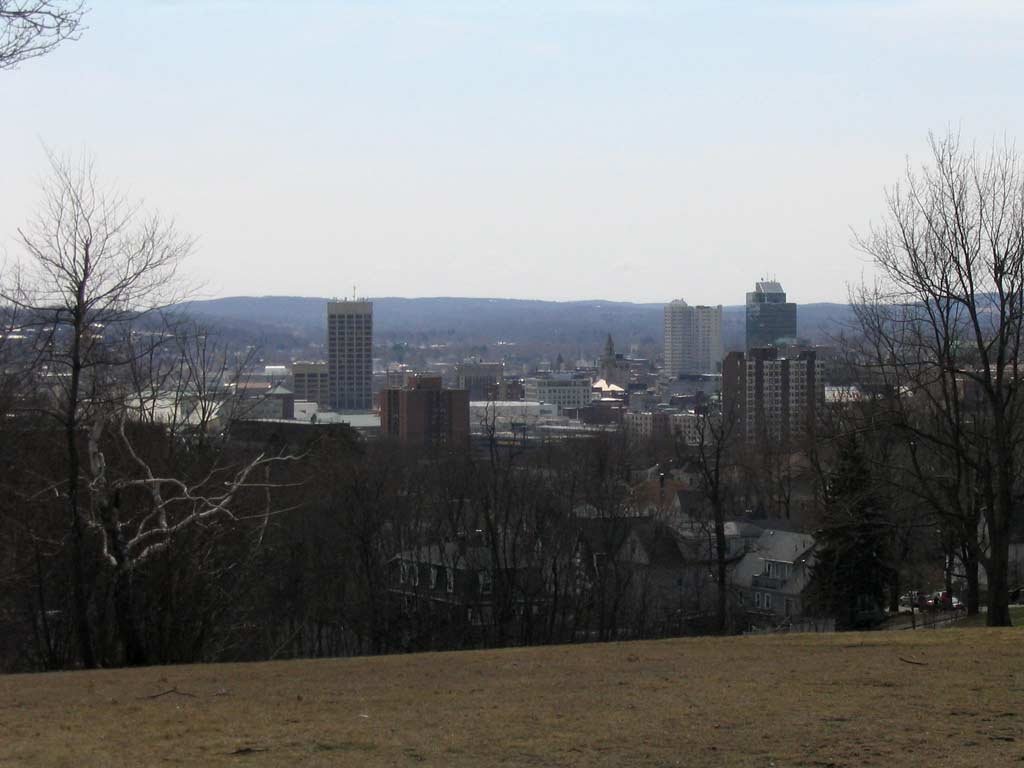
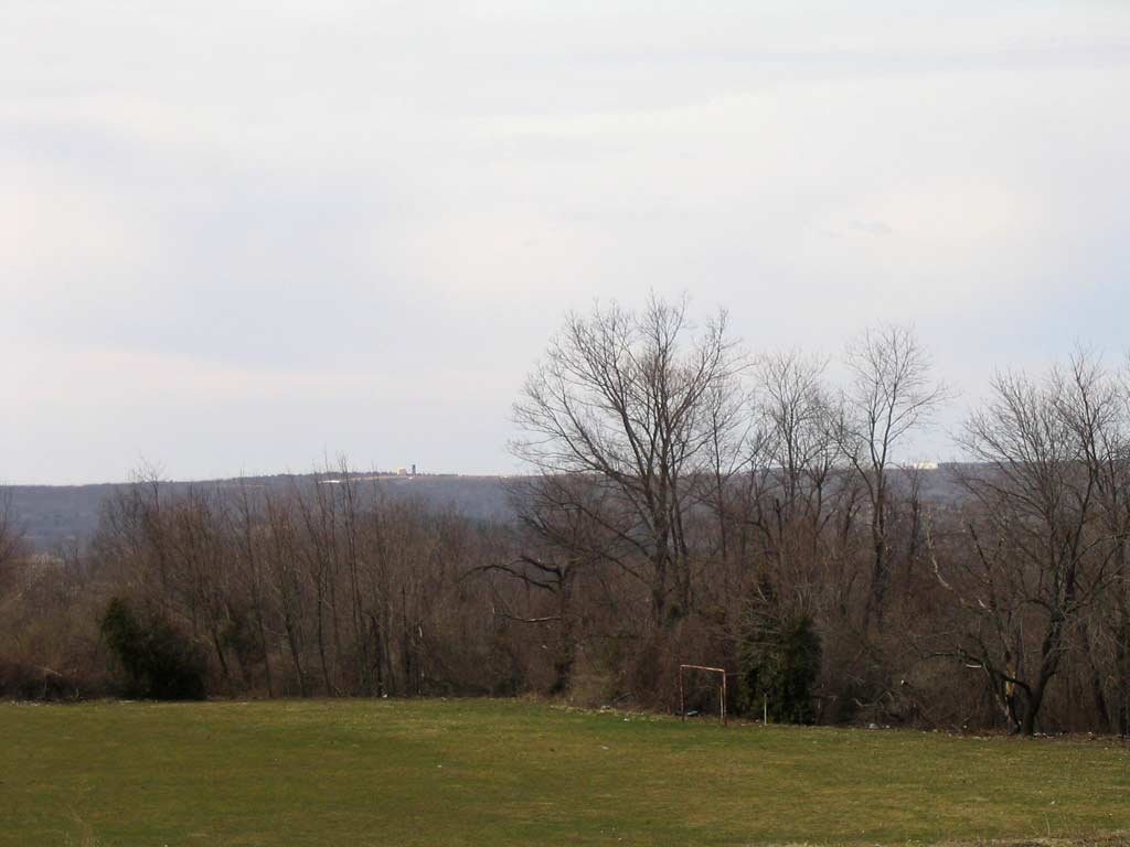 From the 741 foot summit of Bell Hill, we look west across the city to Worcester Airport. Its 1009 foot elevation is just about
the highest point in the city.
From the 741 foot summit of Bell Hill, we look west across the city to Worcester Airport. Its 1009 foot elevation is just about
the highest point in the city.
|
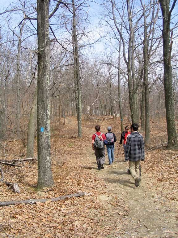
We had a nice elevated view of Bell Pond after crossing Belmont Street, one of just two major roads intersecting the 3.5 mile trail. From there, we the trail leads right into the woods of Green Hill Park. |
|
|
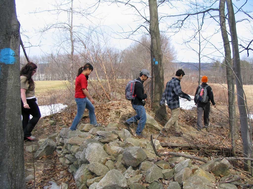
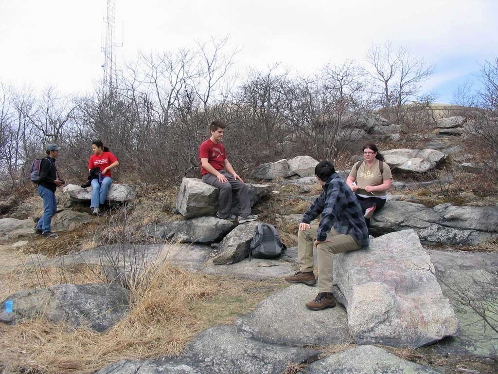 Christian, Jessie, Alexander, Andy and Sarah take a rest stop on the granite rocks above the first of several old quarries we would pass.
 |
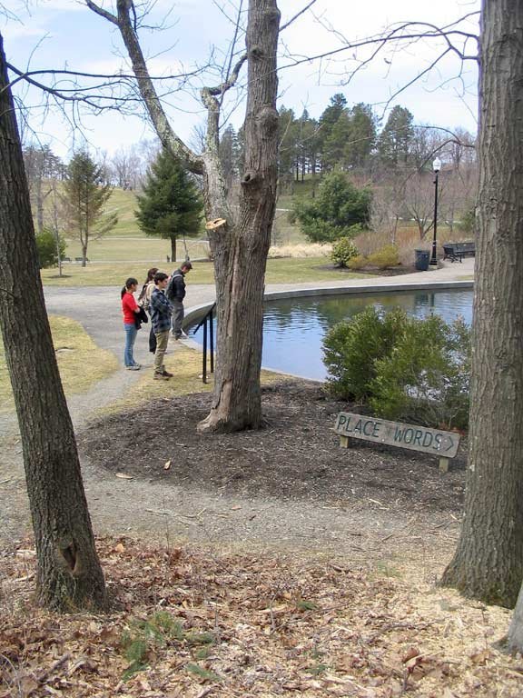 |
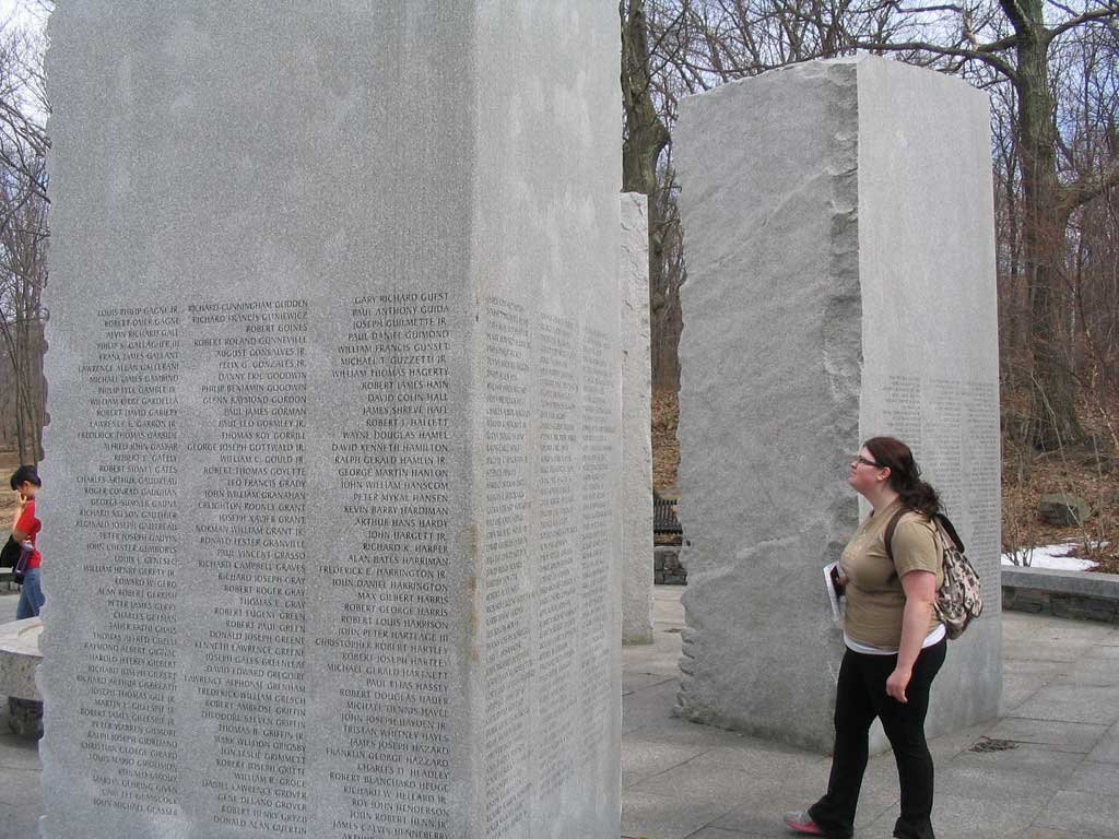
We detoured off the trail to visit the Massachusetts Vietnam Veterans Memorial. At left, we admire the memorial's duck pond. Below, Sarah reads the inscriptions at the Place of Names. |
|
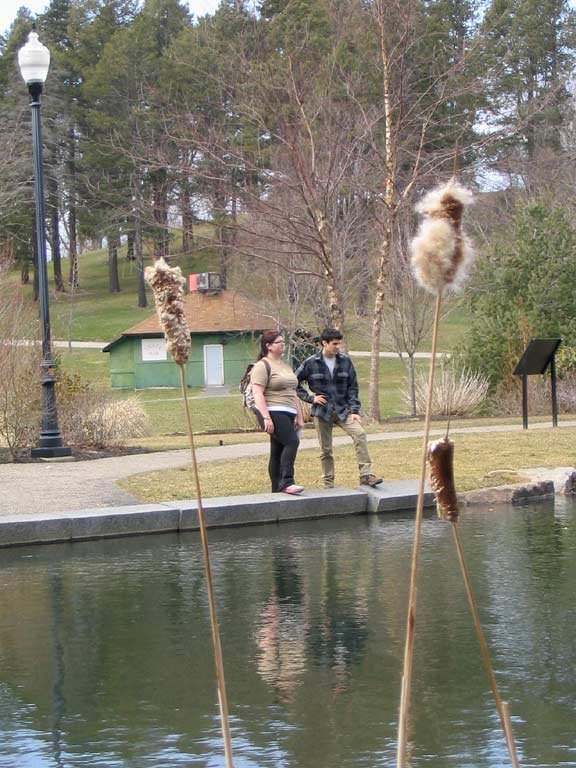
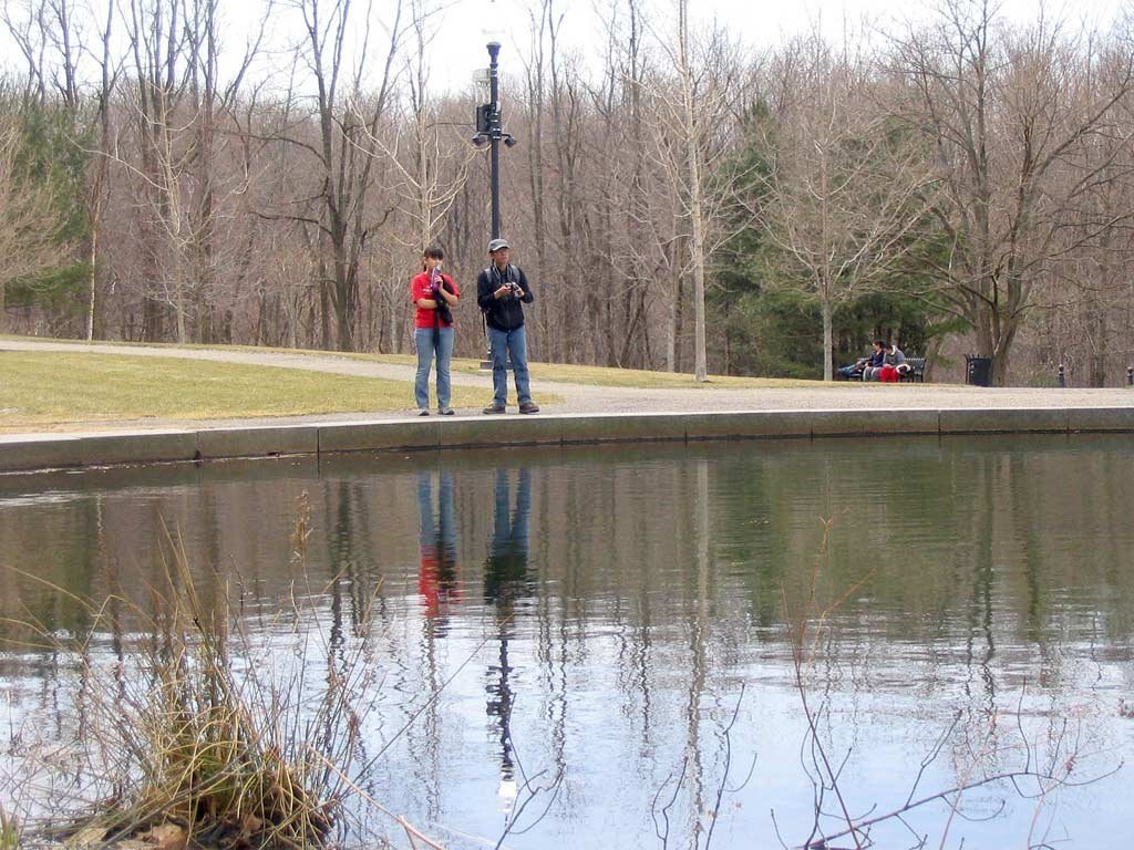 From across the duck pond, Sarah, Alexander, Jessie and Christian admire the scenery.
|
|
Crown Hill beckoned us, so we detoured even further to check it out. The hill's long, steady slope overlooking the memorial makes it a popular spot for sledding in the winter. And from the top, we had a nice view of downtown Worcester. 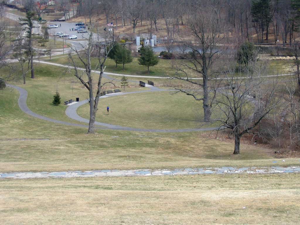
|
 After coming down from Crown Hill we pass Green Hill Pond, a prominent centerpiece of the park.
|
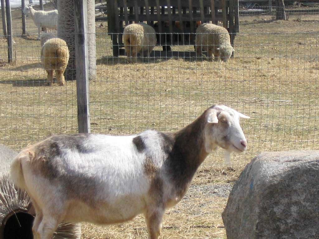
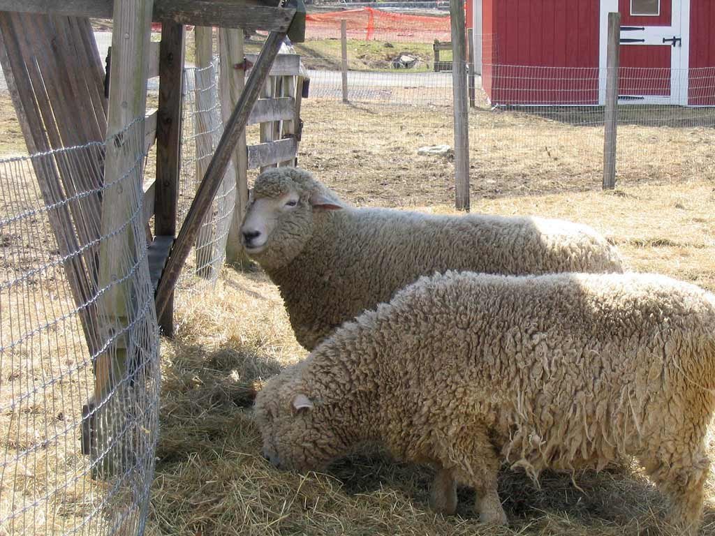
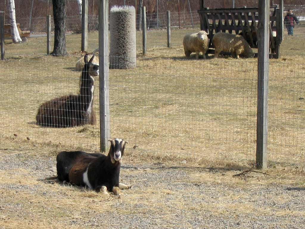 Well, hello there! We meet goats, llamas and sheep at Green Hill Park's Barnyard Zoo.
|
|
|
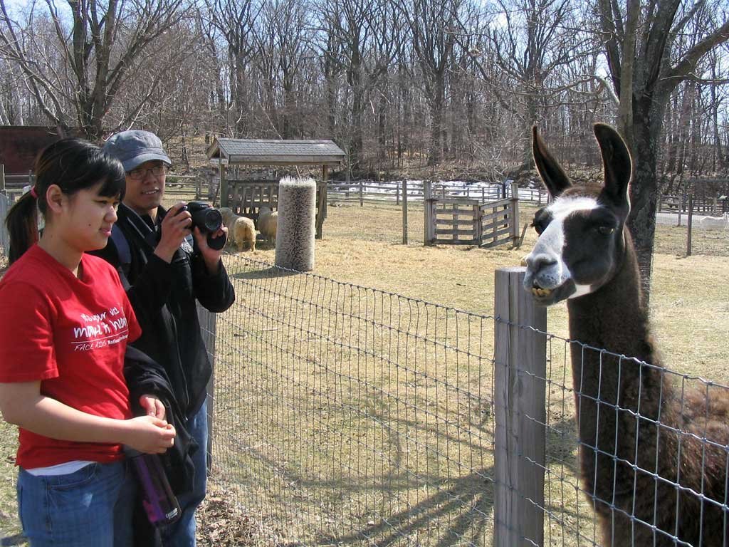
Mr. Llama spotted us! So he came over to say hello to Jessie and Christian. 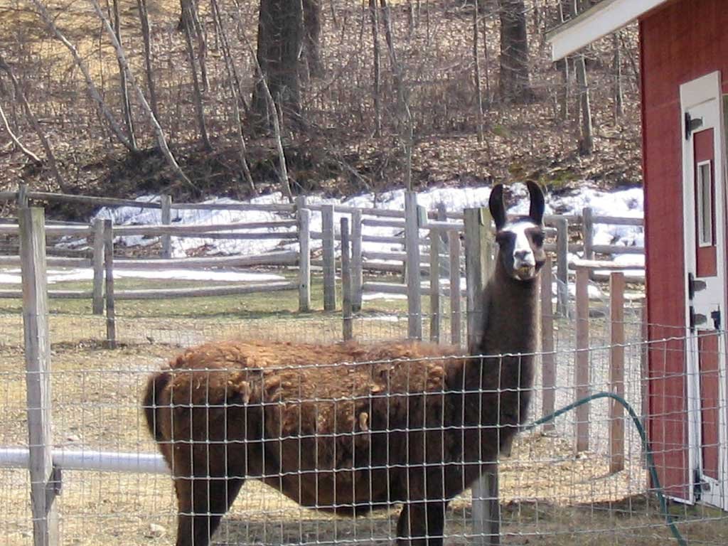
|
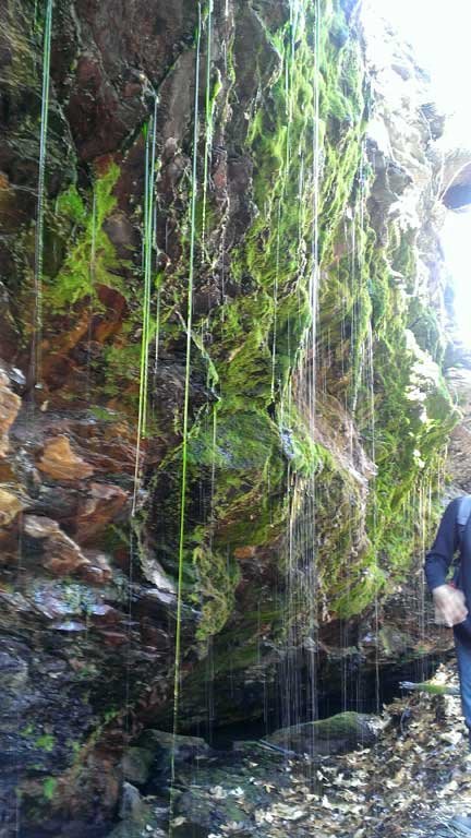
| We continue our long descent from Green Hill down to Coal Mine Brook and Lake Quinsigamond, get set to cross an open field at the edge of the golf corse, and eventually stop to check out the old coal mine shaft entrance. The shaft entrance was definitely the coolest part of our hike! |
|
|
 |
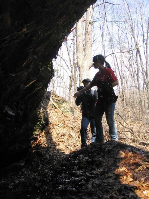
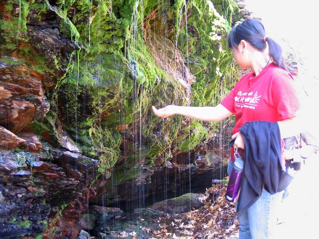
Christian come in for a closer look at the eerie mine shaft entrance as Jessie catches the water dripping from above. |
|
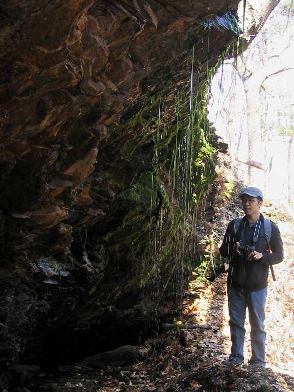
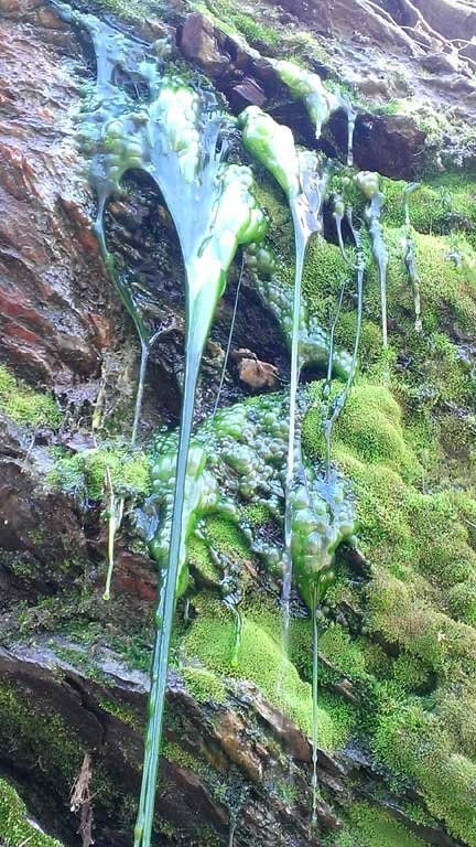 The thick moss and dripping water had combined forces to produce long threads of green slime. It would have been awesome for
Halloween!
The thick moss and dripping water had combined forces to produce long threads of green slime. It would have been awesome for
Halloween! |
 |
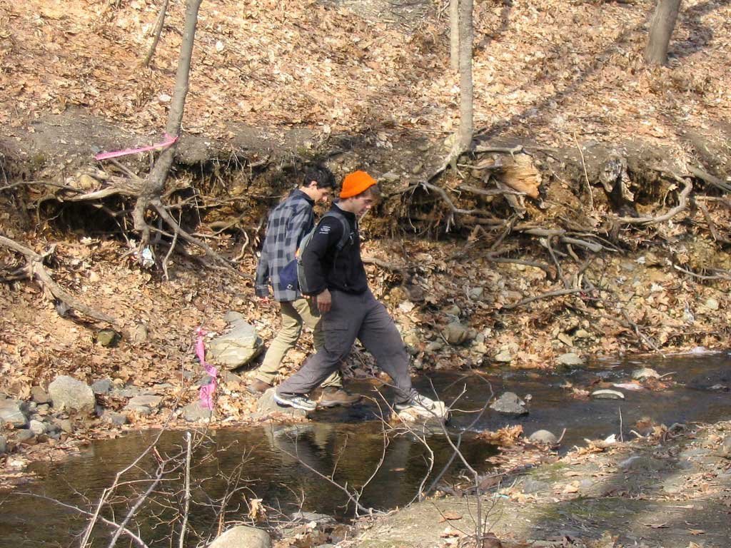
We finally pry ourselves away from the mine shaft and continue down the trail toward Coal Mine Brook, which Andy and Alexander step across after doing some exploring. |
|
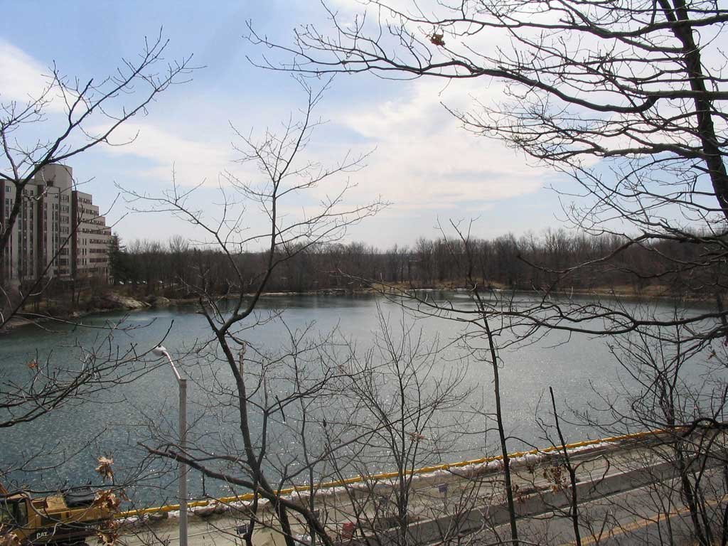
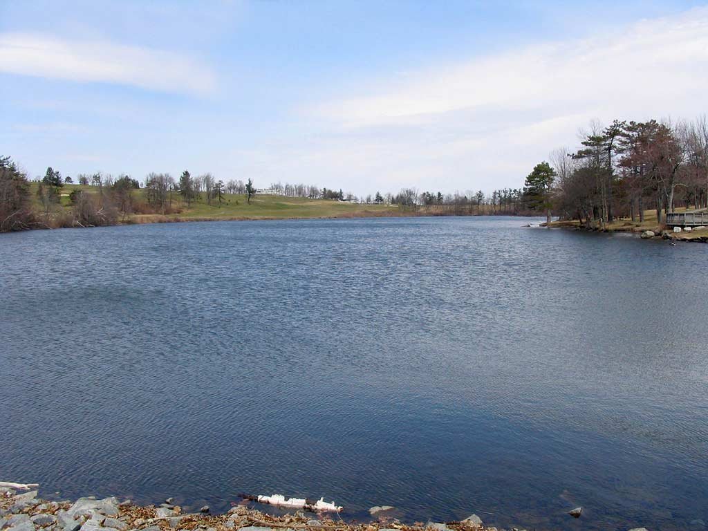
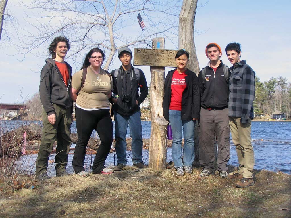 Crossing the finish line, teh six of us arrive at the shore of Lake Quinsigamond to complete our approx. 5 miles of hiking (including
the detours). The strong southerly wind was kicking up some impressive white caps, and was just cold enough that we decided
against standing there for too long.
Crossing the finish line, teh six of us arrive at the shore of Lake Quinsigamond to complete our approx. 5 miles of hiking (including
the detours). The strong southerly wind was kicking up some impressive white caps, and was just cold enough that we decided
against standing there for too long. |

|
|
View photos on Facebook |