|
(Home) |
Franconia Notch in the White MountainsOvernight camping & hikingNovember 8th - 9th, 2014 |
|
click photos to view full size (in new window) 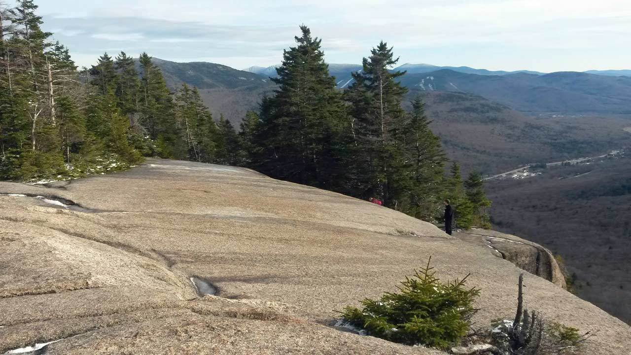 We arrived at our Franconia Notch campsite on Saturday and headed up Mt. Pemigewasset for our
"warm-up hike" in anticipation of Sunday's big advenure. From one of the Pemigewasset look-out points, the snow-covered peaks we could see were an indication of things to come. |
 Bright and cheery Sunday morning, the six of us begin our main adventure at the Bridle Path-Falling Waters trailhead, right across
from our campground. The night had been a restless one, with hail, snow, and frigid temperatures, but the day's outlook was bright.
Bright and cheery Sunday morning, the six of us begin our main adventure at the Bridle Path-Falling Waters trailhead, right across
from our campground. The night had been a restless one, with hail, snow, and frigid temperatures, but the day's outlook was bright.
|
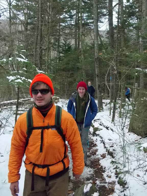 |
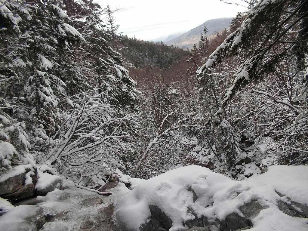
Alex is ready for action as we set out on the Falling Waters Trail, aptly named as it follows a stream with increasingly large waterfalls. |
|
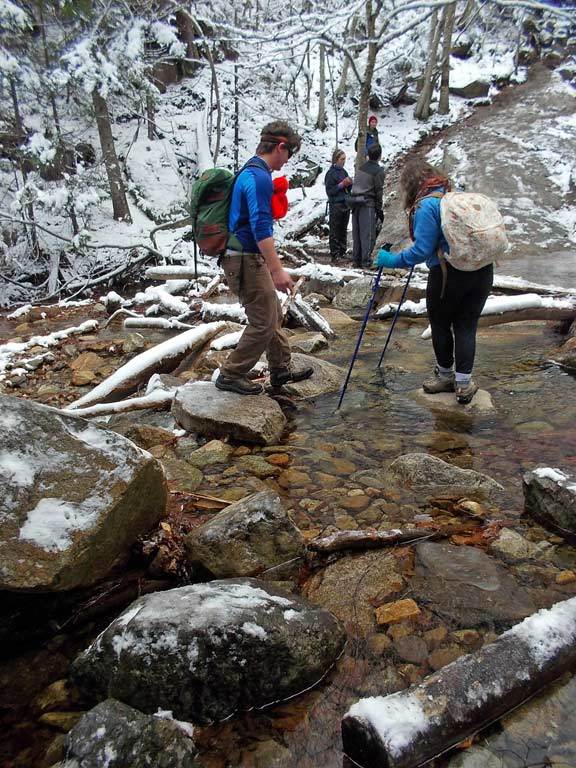
 Alex and Maria Luisa navigate one of several stream crossings we encountered along the trail. We handled these very
carefully, as getting wet would have meant returning right back to camp, given the freezing temperatures.
Alex and Maria Luisa navigate one of several stream crossings we encountered along the trail. We handled these very
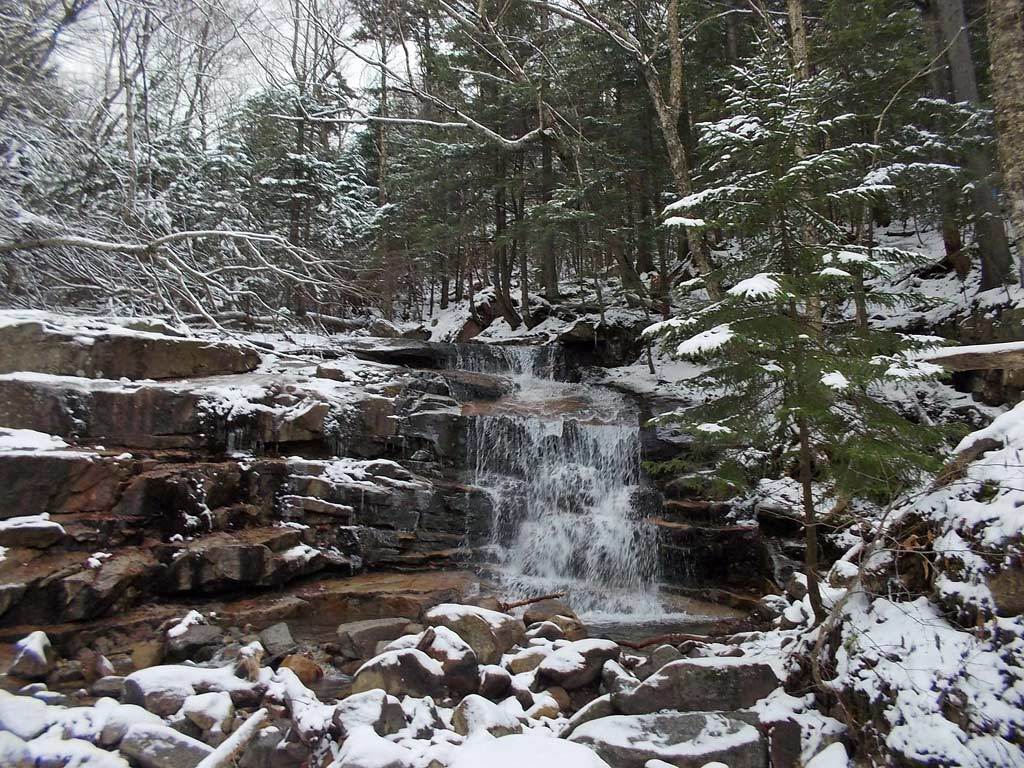
carefully, as getting wet would have meant returning right back to camp, given the freezing temperatures.Next, Alex strikes a pose in front of the next waterfall we encounter. |
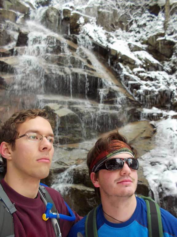 |
In front of the waterfall, Stefan and Alex, our fearess leaders, stare stoically at the mountain scenery. |
|
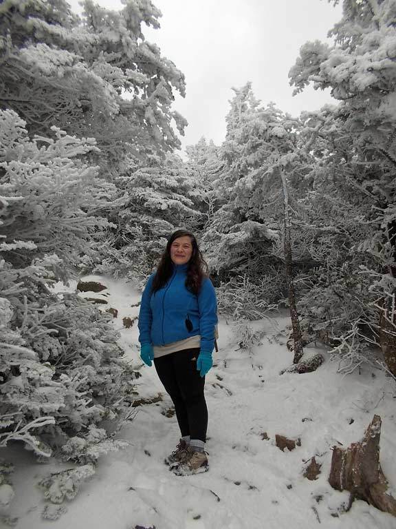 With each step our world becomes increasingly black and white. Rose and Maria Luisa are immersed in the vast winter landscape.
|
 Gradually the trees disappear and the horizon opens up.
|
 |
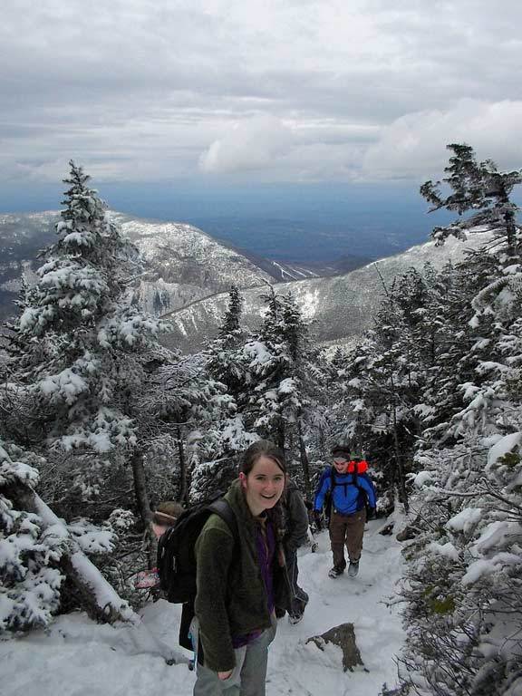
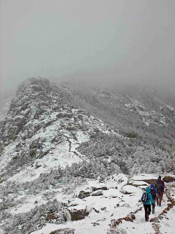
Stefan celebrates victory as we reach the Franconia Ridge Trail, which will bring us across the peaks of Little Haystack Mountain, Mt. Lincoln, and Mt. Lafayette. The astounding views above treeline re-invigorated us. |
|
|
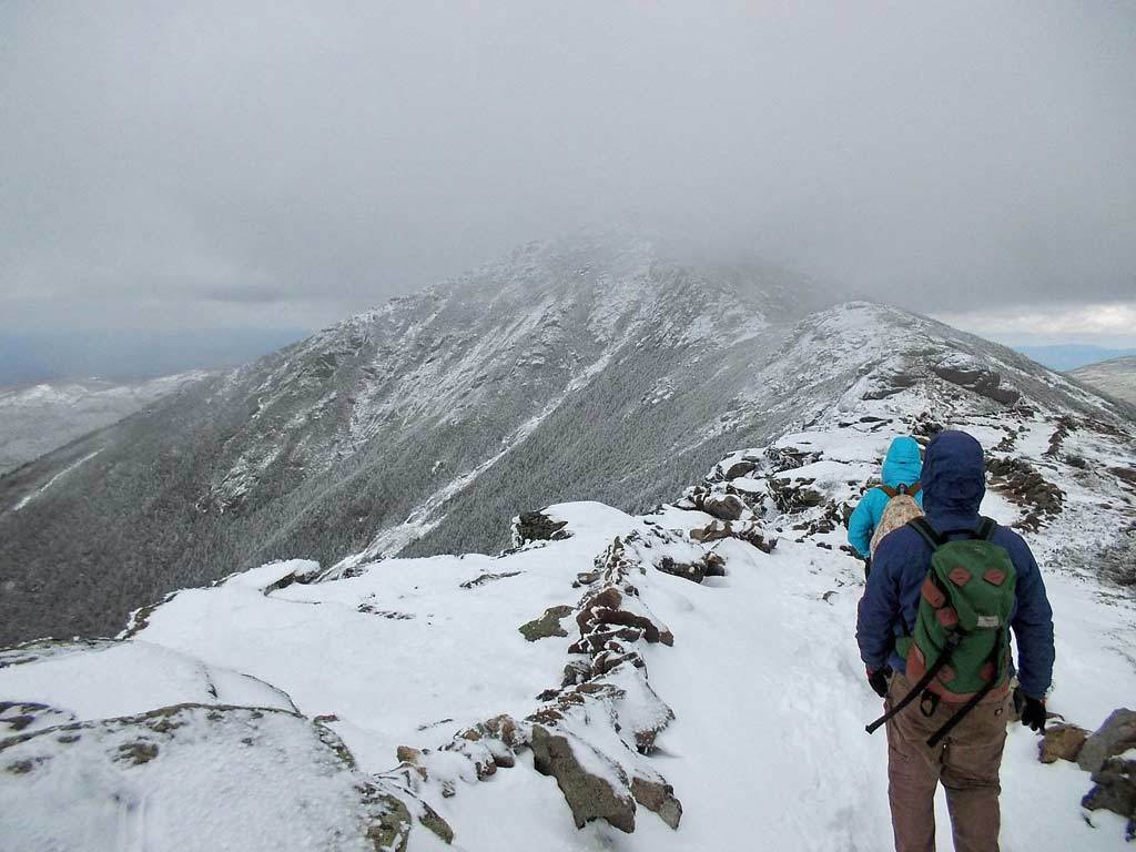
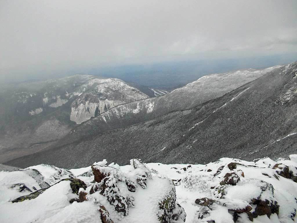
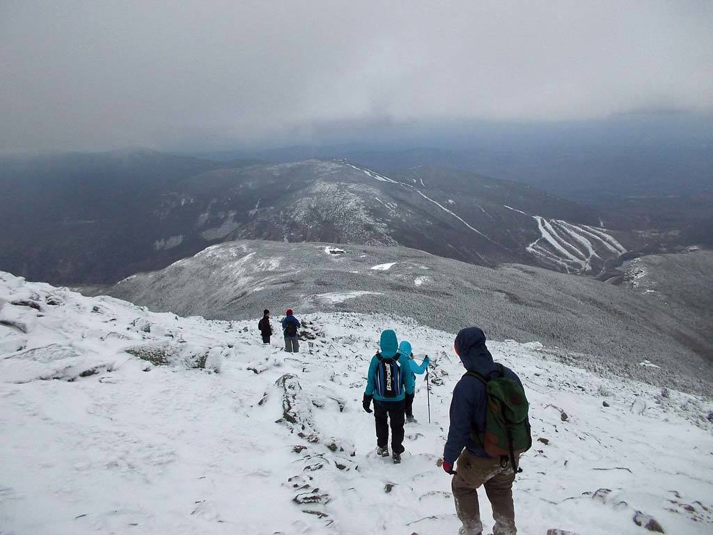
Rose, Laura and Donovan descend from one peak and head toward the next. Beneath the clouds, we caught a great view looking northwest toward Canon Mountain. 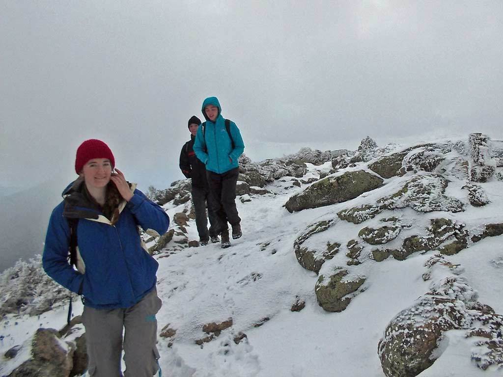
|
|
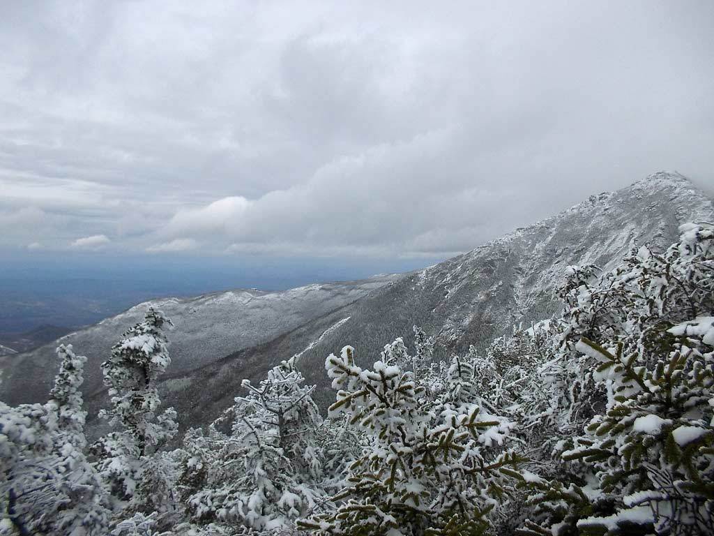
We enjoy more spectacular views as we hike toward the 5249 foot summit of Mt. Lafayette, which rises into the clouds before us. |
|
|
|
From the ridgeline the terrain drops sharply in both directions, and strong winds buffeted us as we walked along the exposed expanse. 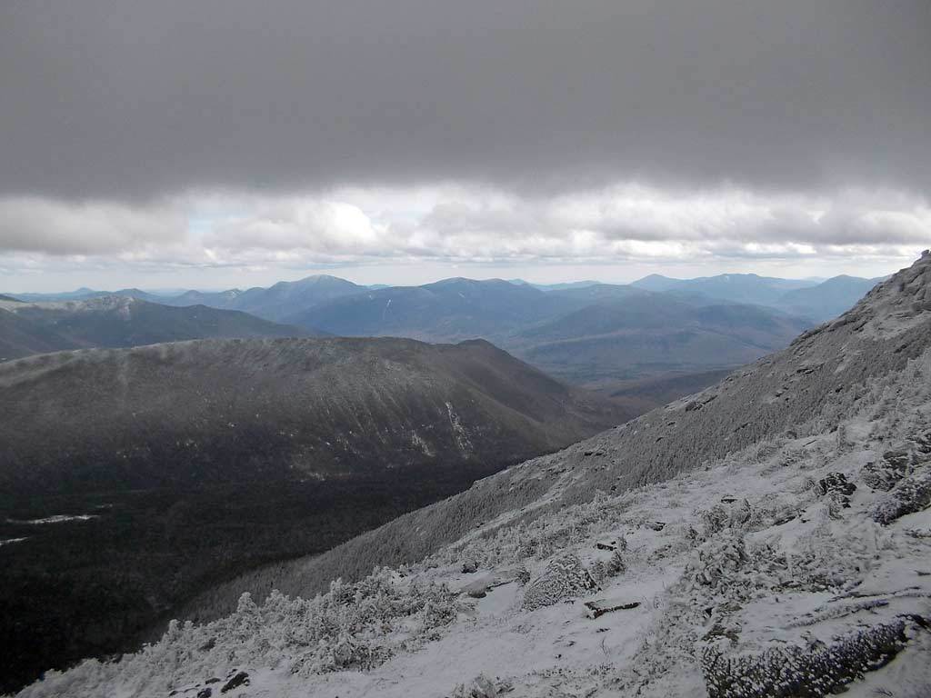

|
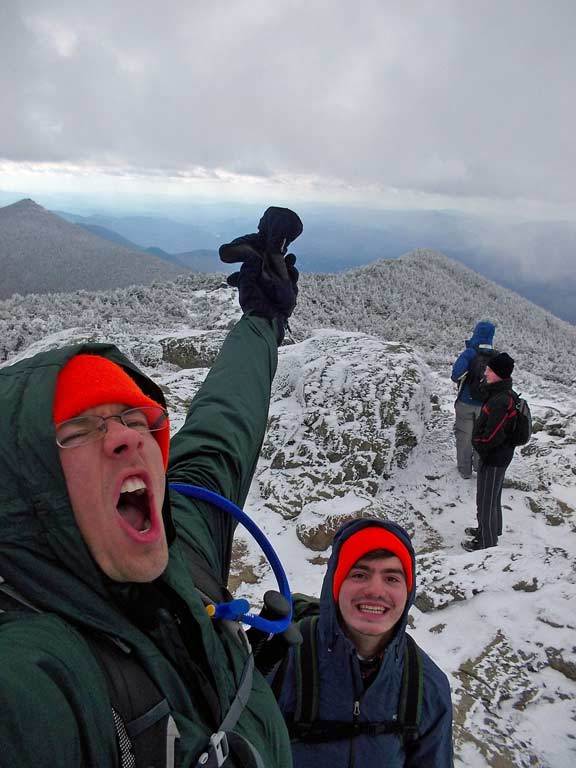
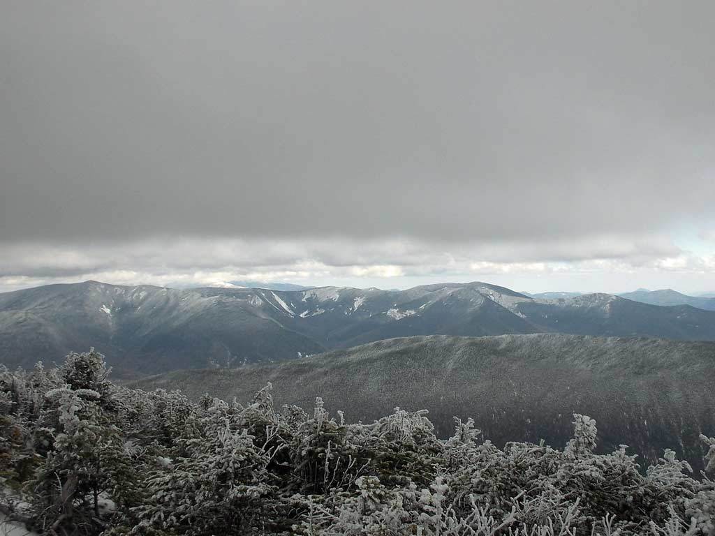
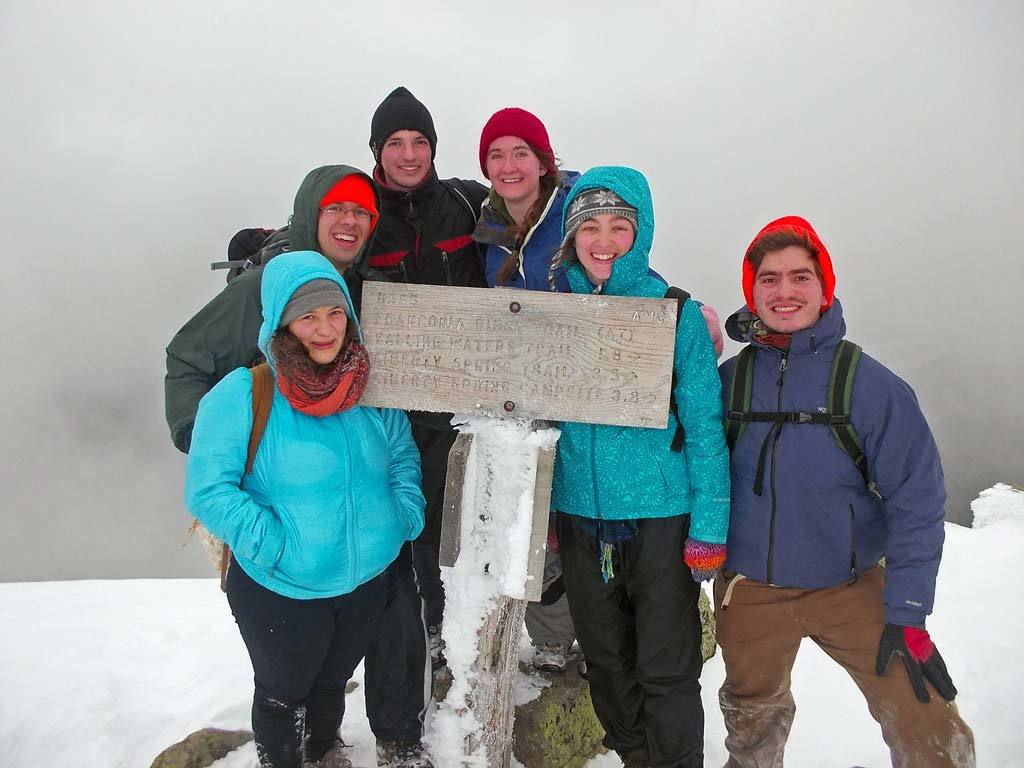 Success... shrounded by clouds we reach the top of Mt. Lafayette, the high point in our hike. We met several other hikers at
the top of Lafayette, but conditions were not very hospitable and we moved on in short order.
Success... shrounded by clouds we reach the top of Mt. Lafayette, the high point in our hike. We met several other hikers at
the top of Lafayette, but conditions were not very hospitable and we moved on in short order.
|
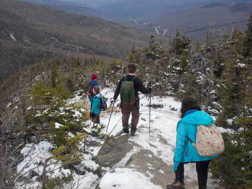
 Our long descent from the ridge begins on the Greenleaf Trail.
|

 The snow was deeper on this end of the ridge and had been packed down by other hikers over the past few days, making for a
slippery descent.
The snow was deeper on this end of the ridge and had been packed down by other hikers over the past few days, making for a
slippery descent.
|
 Conditions become more comfortable as our descent continues.
|
|
A stunning look back at the ridge we had sucessfully hiked. Through solid communication and strong teamwork we made it off the mountain together before the sunset and enjoyed a nice WARM van ride back to Clark. 
|
|
View photos on Facebook |